Home / Collin County / Celina
Property-specific planning for Celina-area wells
Water Well Drilling in Celina, TX
Celina spans active development, established homes and rural acreage, so a mailing address alone does not settle the well question. Start with the exact tract, then compare nearby domestic completions, Trinity Aquifer context, North Texas Groundwater Conservation District coverage, utility and septic constraints, and a workable route for drilling equipment.
- Address-level intake
- Collin County context
- Clear next steps
Celina planning snapshot
A 955-foot median, with a 695-to-996-foot middle band
Among recent domestic reports submitted with Celina as the city or address label, half of the recorded depths fall between 695 and 996 feet. The middle half of the recent set is comparatively tight, but the full spread is still wide enough that the closest comparable wells matter more than the citywide midpoint.
Celina is the submitted city or address label, not a city-limits count. All 18 records in this recent domestic set are coded to Collin County, but a mailing label still does not prove city limits, the applicable jurisdiction or the producing interval beneath one tract.
What the Celina records can and cannot tell you
Recent Celina-labeled reports show why parcel-level review matters
The 18-record set has a 955-foot median, a middle half from 695 to 996 feet and a 10th-to-90th percentile span from 462 to 1,147 feet. Reported depths range from 350 to 1,215 feet. Four records are 640 feet or shallower, while six reach 1,000 feet or more. That range is not a parcel forecast; distance, completion date, construction details and the producing interval should be weighed before any record is treated as comparable.
TWDB identifies the Trinity as a major aquifer across much of north-central Texas, while state records also show Woodbine wells in the broader Celina area. A mailing label does not identify the producing unit beneath one tract. A representative Celina coordinate falls inside the North Texas Groundwater Conservation District boundary in the current state file. Confirm the exact property, current district registration or permit requirements, and state construction rules before drilling.
- Locate the tract precisely: confirm the street address or parcel, city or ETJ status, utility availability, septic layout and any subdivision restrictions.
- Keep the comparison residential: start with recent domestic completions near the property instead of mixing them with Celina-labeled irrigation, monitoring or public-supply work.
- Check jurisdiction before scheduling: confirm current North Texas GCD registration or permitting, TDLR licensing, setbacks and local requirements for the exact property.
- Carry a complete-system budget: serious residential planning starts at $25,000+ because casing, pump, pressure equipment, electrical work, trenching, testing, treatment and access can matter as much as footage.
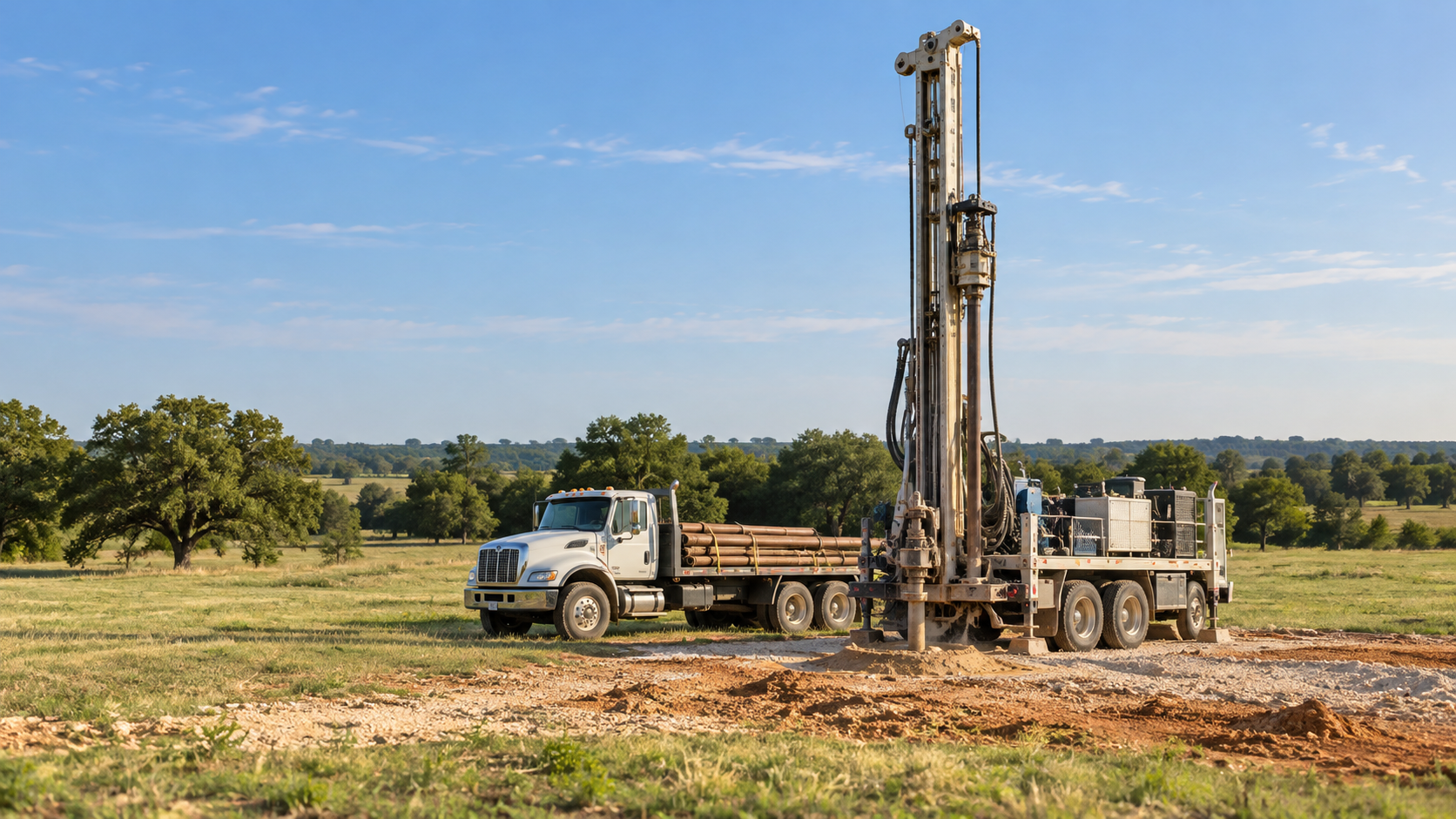
From property question to complete-system quote
Bring the tract and the record pattern into one scope
Recent Celina-labeled domestic records run from 350 to 1,215 feet. These four steps help narrow that broad public record set before a property owner compares complete-system quotes.
Identify the property
Confirm the tract, intended use, utility status, septic plan, access constraints and any known well history.
Review nearby evidence
Sort nearby domestic completions by distance, date, depth and construction, then compare the result with the wider Collin County pattern.
Check the rules and route
Confirm current North Texas GCD registration or permitting, TDLR-licensed drilling, setbacks, utilities and a workable rig route before scheduling.
Define the complete scope
Compare complete scopes that include drilling, casing, pump, pressure or storage equipment, electrical work, testing and possible treatment.
$199 Pre-Drill Intelligence Report
See what the nearest records say before the rig arrives
The property-specific report sorts nearby submitted depths, reported yield where available, aquifer and groundwater-district context, driller activity and site-review questions into one planning report.
Keep exploring local water-well context
Celina planning starts with Collin County and nearby records
Use the Collin County guide as the parent reference, then compare nearby published city and county pages without treating regional patterns as a parcel guarantee.
Nearby published planning guides
These published guides provide useful regional context around Celina and neighboring North Texas counties.
Celina water-well questions
Four questions to settle before drilling
How deep are domestic wells labeled Celina in recent reports?
The 18 domestic reports completed since 2020 with total depth recorded have a 955-foot median. The middle half runs from 695 to 996 feet. Those submitted-record patterns are comparison context, not a depth prediction for one property.
Which groundwater district rules apply near Celina?
A representative Celina coordinate falls inside the North Texas Groundwater Conservation District boundary in the current state file. Confirm the exact tract and the district’s current registration, exemption, spacing and permit rules before drilling.
What should I budget for a complete residential well?
Use $25,000+ as a serious starting point for a complete residential system, not as a quote. Deeper construction, difficult access, casing, pump and pressure equipment, electrical work, trenching, testing and treatment can move the total higher.
What is included in the $199 Pre-Drill Intelligence Report?
The report organizes property-specific nearby depths, reported yield where available, aquifer and groundwater-district context, driller activity and site-review questions before you compare quotes.
Request a drilling quote
Start with the property
Share the exact tract, proposed use, equipment access and timing needed for a useful Celina-area drilling follow-up. The $199 Pre-Drill Report is ordered separately.
Request a Celina drilling quote
Share the property, access and project details needed for a useful drilling follow-up.