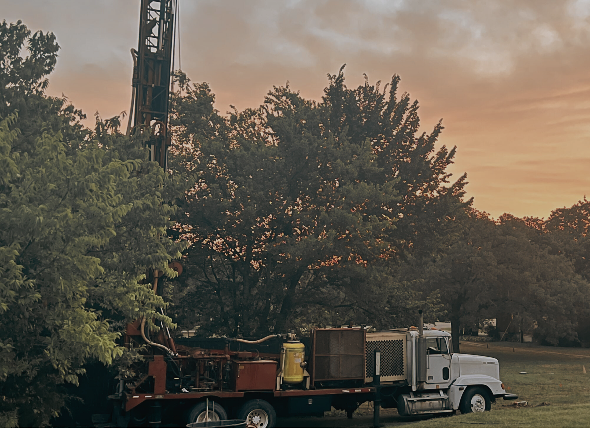
Water Well Drilling in Van Zandt County, TX
Trinity Aquifer • 1,900+ Domestic Wells Drilled • Cattle Country & Rural Acreage
2,748
Wells on Record
280 ft
Median Pump Depth
150-500 ft
Typical Depth Range
Trinity
Primary Aquifer
Where East Texas Begins
Van Zandt County sits at the hinge point between the Dallas-Fort Worth suburbs and the piney woods of East Texas. Canton , home of First Monday Trade Days, the oldest flea market in the country , anchors the county seat. Wills Point, Grand Saline, Edgewood, Van, and Fruitvale make up the rest of a county that runs on cattle, row crops, and rural acreage sales to buyers escaping the city.
Municipal water exists in the towns, but it stops well short of the county’s rural reaches. With over 2,700 well records on file , nearly 1,900 of them residential domestic wells , Van Zandt has one of the highest concentrations of active private wells in the DFW outer ring. Most property owners here expect to drill. It’s part of the deal when you buy land with room to breathe.
What the Trinity Aquifer Looks Like in Van Zandt County
Van Zandt sits squarely in Trinity Group aquifer territory. The Trinity is a layered system of Cretaceous-age sandstones , the Paluxy, Glen Rose, Travis Peak, and Hosston formations , that supply most of the private wells across the eastern DFW counties. In Van Zandt, drillers typically reach productive water between 150 and 350 feet, though deeper completions to 500 feet are common on larger properties.
Grand Saline is worth a note: the town sits atop one of the largest salt domes in North America. Drillers in the western part of the county avoid that zone entirely, and local knowledge matters here. A driller who has worked Van Zandt before knows which formations to target and which to case off.
What a Well Costs in Van Zandt County
At $65-$120 per foot, a 280-foot Van Zandt well runs $25,000–$40,000 in drilling costs. A complete residential well system , drill, casing, submersible pump, pressure tank, and electrical , typically lands in the $25,000–$45,000 range. Agricultural wells for irrigation or stock ponds are generally higher, priced individually based on depth and casing diameter.
Van Zandt County wells fall under the Rusk County Groundwater Conservation District and, in some areas, the Upper Neches GCD. Permits run $500-$1,500 and are pulled by the driller prior to spud date.
Why TurnKey Wells for Van Zandt County
TurnKey Wells is not a drilling company. We connect landowners with TDLR-licensed water well contractors who have active experience in Van Zandt County. You get competitive bids from drillers who know the Trinity formations here , including who to call when you’re west of Wills Point versus east of Canton, where the formation behavior differs.
This matters in a county where the Grand Saline salt dome, clay-heavy soils near the Trinity River floodplain, and the east-to-west shift in aquifer depth mean one quote doesn’t fit all properties. Tell us your parcel location and intended use , residential, ranch, or irrigation , and we’ll match you with drillers who know this ground.
Service Areas in Van Zandt County
TurnKey Wells serves all of Van Zandt County including Canton, Wills Point, Grand Saline, Edgewood, Van, Fruitvale, Eustace, and all rural properties between.
Nearby County Well Drilling Pages
Nearby county pages can help you compare well depth, geology, and local drilling conditions before requesting a quote.
- Water well drilling in Henderson County, TX
- Water well drilling in Kaufman County, TX
- Water well drilling in Hunt County, TX
Get a Free Well Estimate in Van Zandt County
Connect with licensed drillers who know Van Zandt County’s Trinity aquifer. No obligation, no pressure. Just straight answers about your property.
Van Zandt County well planning and aquifer context
Local well planning should account for the Carrizo-Wilcox Aquifer in Texas, nearby depth records, and how neighboring wells performed before a drilling contractor gives a final estimate.
For an existing property, start with the free Texas well check to see what public records show near the address. For a new build or rural land purchase, the Pre-Drill Intelligence Report gives a tighter look at surrounding well records, expected depth patterns, and drilling risk before you commit real money.