Henderson County, Texas
Water well drilling in Henderson County, TX
A tract outside Athens can call for a different well plan than land along Cedar Creek Lake, near Brownsboro or Chandler, or on the Lake Palestine side of the county. Start with the property address, intended water use, and nearby well records before discussing depth or equipment.
- Address-level neighboring-well research
- NTVGCD-aware planning
- Complete water-system scope
Bring the property address, expected water demand, and any existing well records. Those details make the first conversation more useful.
The county name is not a drilling depth
The Carrizo-Wilcox is the principal groundwater source in Henderson County. The Queen City and Sparta aquifers also contribute locally. That regional picture matters, but it does not establish which water-bearing interval will be practical on one property.
Aquifer thickness, depth, water level, water quality, and nearby construction history can change substantially from tract to tract. A countywide average would hide those differences. It also could mix household wells with irrigation, public-supply, test, monitoring, and other records that were built for different purposes.
What to review around one address
- Recorded wells close to the property
- Reported use and completion details
- Mapped aquifer context
- Site access, utilities, and terrain
- Planned water demand
- Current district requirements
Three aquifers can matter, but not equally on every tract
Regional aquifer information is a useful starting point. It does not establish a suitable interval, final construction, water quality, capacity, or pump setting for a parcel.
Principal groundwater source
The Texas Water Development Board identifies the Carrizo-Wilcox as a major Texas aquifer. It is the principal groundwater source in Henderson County, but its usable zones and local conditions are not uniform.
Local contribution
The Queen City is a minor aquifer that can contribute groundwater locally. Its presence on a regional map does not, by itself, confirm a suitable interval or a specific well plan for a parcel.
Local contribution
The Sparta also contributes locally in parts of the county. The practical questions depend on the tract, the intended use, and neighboring well information.
What the aquifer map cannot promise
An aquifer name is not a freshwater-depth guarantee. Property research and evaluation by qualified, licensed professionals are required before construction decisions are made.
Compare reported use, depth, and record age separately
The TWDB Submitted Driller Well Reports service returned 2,484 Henderson County records on August 31, 2026. These counts describe submitted reports, not every well in the county, and they do not predict conditions on one property.
Reported use
Use categories should be compared before treating one report as relevant to a planned system.
Reported borehole depth
Depth bands use the 2,483 reports with a positive borehole-depth value. They are record context, not a depth estimate.
Completion record age
All 2,484 returned reports include a completion date. Newer and older records can reflect different construction context.
Source: TWDB Submitted Driller Well Reports. Review nearby, comparable records for the property before discussing depth, yield, water quality, or construction.
Check NTVGCD status before drilling or altering a well
The Neches & Trinity Valleys Groundwater Conservation District covers Henderson County. Its current posted district rules require an application or registration before drilling or altering any well.
Domestic and agricultural wells that are incapable of producing more than 36,000 gallons per day may be exempt from an operating permit, but the district’s pre-registration and registration requirements still apply. Subdivision wells are not exempt. Project classification depends on the proposed use and system, so confirm the current requirement directly with NTVGCD before work begins.
Texas also regulates water well drilling and pump installation through the Texas Department of Licensing and Regulation. Use appropriately licensed professionals for regulated work.
A useful drilling conversation covers the whole water system
Property access
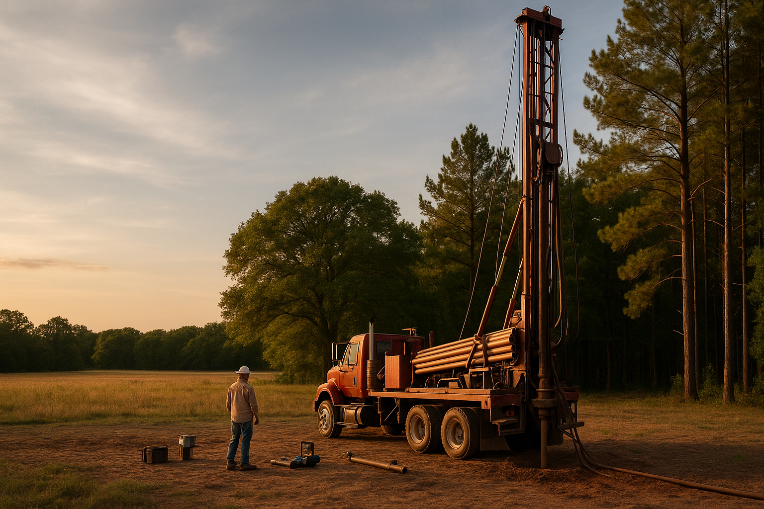
Roads, gates, slopes, trees, overhead lines, buried utilities, and room for the rig all affect how work can be staged.
Water demand
A household, livestock operation, irrigation plan, or mixed-use property may need a different pump, storage, and pressure approach.
Groundwater context
Nearby well records, reported uses, aquifer mapping, and local construction history help frame better questions for the property.
Complete installation
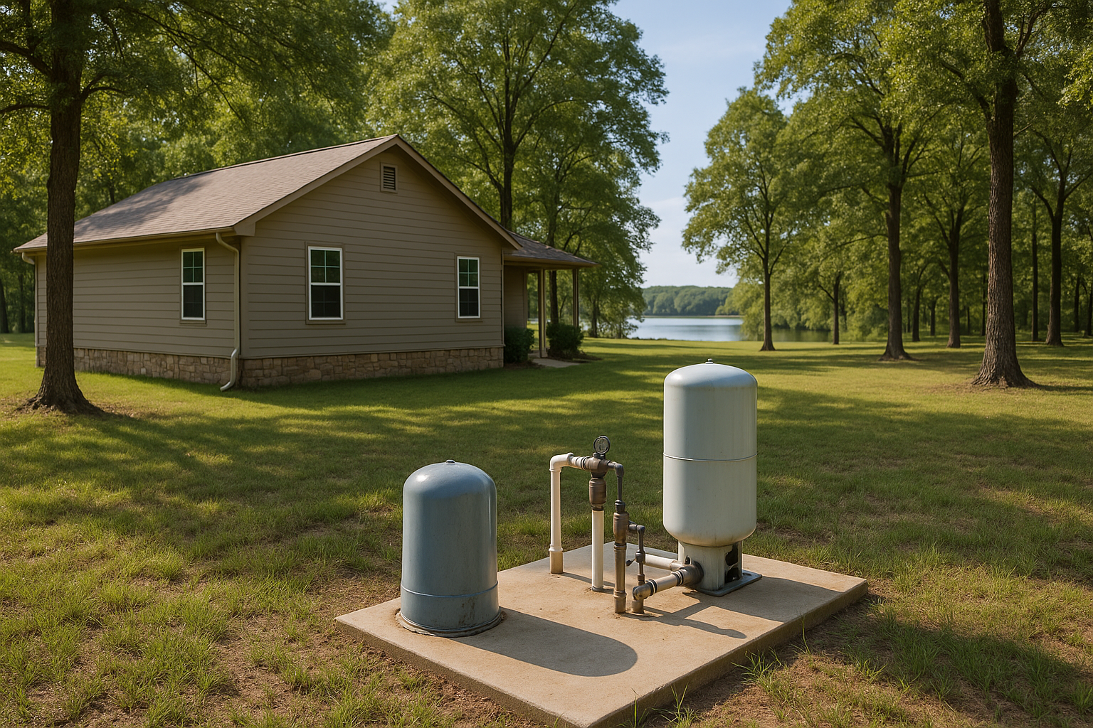
The scope may include mobilization, drilling, casing, pump and controls, electrical work, trenching, pressure equipment, storage, treatment, testing, startup, and cleanup.
Bring the address into the drilling conversation
Tell us where the property is, what the well needs to support, and whether there are existing water-system records. That gives the next conversation a concrete place to begin.

Know what should be discussed before work begins
A drilling scope is easier to understand when the major parts of the usable water system are visible. Depending on the property and intended use, the conversation may include:
- Mobilization and site setup
- Drilling and casing
- Pump sizing and controls
- Electrical service and trenching
- Pressure equipment
- Storage and treatment
- Water testing
- Startup and site cleanup
The applicable district steps should be confirmed before drilling or alteration work begins.
Mark access, utilities, and usable space before mobilization
A proposed well location needs more than an open patch of ground. The first site conversation should account for the access route, overhead and buried utilities, slopes, trees, existing improvements, and enough room to stage equipment safely.
Those conditions belong beside the intended water use and nearby well records when the scope is discussed.

Move from county context to one property
County aquifer information is a starting point. A Pre-Drill Intelligence Report narrows the research to the property you are evaluating, so nearby records and district context can be reviewed together.
- Neighboring recorded wells and their reported uses
- Available completion details for relevant nearby records
- Aquifer context for the property area
- Groundwater district information
- Questions to raise before comparing drilling scopes
It does not promise depth, water quality, or yield. It gives you a more useful set of property-specific facts for the next conversation.
Prepare for the drilling conversation
Share the property
Provide the address or location, the intended use, and any existing well information you have.
Review the local context
Look at comparable neighboring records, aquifer context, site constraints, and the district requirements that may apply.
Define the complete scope
Discuss drilling, casing, pump, power, pressure, storage, treatment, testing, and cleanup as one working system.
Plain answers before you plan the work
Which aquifer supplies groundwater in Henderson County?
The Carrizo-Wilcox is the principal groundwater source. The Queen City and Sparta aquifers contribute locally. Conditions vary by tract, so regional aquifer mapping should be considered with neighboring well records and property details.
How deep will a water well be on my Henderson County property?
There is no reliable countywide number for one property. Depth can vary substantially by tract and intended use. Address-level research into nearby comparable wells provides better context, but it still cannot guarantee the final depth.
Does NTVGCD cover Henderson County?
Yes. The Neches & Trinity Valleys Groundwater Conservation District covers Henderson County. Its current posted rules require an application or registration before drilling or altering any well. Confirm the current district process for the specific project before work begins.
Are domestic and agricultural wells exempt from NTVGCD permits?
Domestic and agricultural wells incapable of producing more than 36,000 gallons per day may be exempt from an operating permit, but pre-registration and registration requirements still apply. Subdivision wells are not exempt. Confirm the proposed well’s classification with NTVGCD.
Is there a current NTVGCD moratorium?
Verified August 31, 2026: Resolution 2026-001 temporarily pauses new non-exempt drilling, operating, and transport applications through October 1, 2026, or final rule adoption, whichever is later. It is not a blanket stop on every well. Because this notice is time-sensitive, confirm its current status directly with NTVGCD.
Do I need a licensed water well professional?
Texas regulates water well drilling and pump installation through the Texas Department of Licensing and Regulation. Use appropriately licensed professionals for regulated work and confirm district requirements before drilling or altering the well.
Plan around the part of Henderson County where the tract sits
Around Athens, the Cedar Creek Lake corridor, Malakoff, Trinidad, Brownsboro, Chandler, and the Lake Palestine side, access, utilities, neighboring development, and existing improvements can change the questions worth asking.
Start with the address and the intended use
Share the property location and what the water system needs to support. We can begin with the available records and identify the questions that belong in the next drilling conversation.
- Property address or location
- Expected water demand
- Existing well records, if available
Request a Water Well Drilling Quote
Tell us where the property is, what the well needs to support, and when you hope to begin.
Your information is used to respond to this request. Privacy Policy