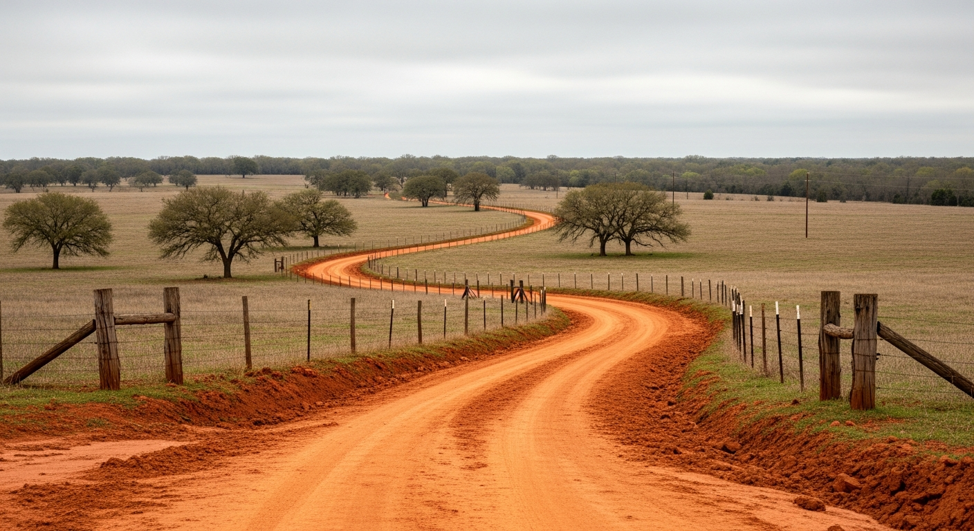
Water Well Drilling in Anderson County, TX
A water-well plan near Palestine may differ from one near Elkhart, Frankston, Neches, or a rural county line. County records offer a useful starting point, but the property location, intended water use, site access, and complete water system determine what belongs in a drilling conversation.
Tell us about the property and what the well needs to support. TurnKey Wells reviews the request and helps connect the property owner with a qualified water-well professional.
- Anderson County records separated by source and reported use
- Property-specific aquifer and district questions
- Clear next steps for drilling and complete-system planning
Planning a well in Anderson County?
Start with the property location, what the water needs to support, and when you hope to begin.
Keep newer submitted reports separate from the historical file
The locally retained Texas Water Development Board Submitted Driller Reports extract contains 645 Anderson County domestic records with positive reported total depths. The median is 400 feet. The middle half runs from 160 to 607 feet, while the 10th-to-90th percentile span runs from 85 to 740 feet.
The separate historical TWDB Groundwater Database contains 113 Anderson County domestic records, including 109 with positive depth fields. Its domestic median is 87 feet. The middle half runs from 40 to 446 feet, and the 10th-to-90th percentile span runs from 28 to 655 feet.
| Record set | Domestic depth records | Median reported depth | Middle 50% | 10th to 90th percentile |
|---|---|---|---|---|
| Submitted Driller Reports | 645 | 400 ft | 160 to 607 ft | 85 to 740 ft |
| Historical TWDB Groundwater Database | 109 positive depths among 113 domestic records | 87 ft | 40 to 446 ft | 28 to 655 ft |
The two datasets cover different reporting systems, eras, and record populations. They should not be blended into one county average. A nearby domestic record may be more useful than a distant stock, irrigation, monitoring, public-supply, or industrial record, but even a nearby log cannot promise the outcome at another location.
Plain answer: The newer submitted domestic records center deeper than the historical domestic file. Use both as context, then narrow the review to the tract.
Anderson County submitted records span more than two decades
Among the 645 domestic Submitted Driller Reports in the retained Anderson County extract, 198 have completion years from 2001 through 2009, 259 are from 2010 through 2019, and 188 are from 2020 through the July 2026 endpoint represented in the data.
| Domestic submitted-report completion years | Records |
|---|---|
| 2001–2009 | 198 |
| 2010–2019 | 259 |
| 2020–2026 | 188 |
These are mutually exclusive record groups, not a count of active wells. A newer record may reflect more recent reporting practices, but its date alone does not make it comparable to another property.
The county file includes more than household wells
Domestic records
The submitted domestic subset has a 400-foot median and a middle-half range of 160 to 607 feet.
Stock records
The stock subset has a 520-foot median and a middle-half range of 430 to 560 feet.
Irrigation records
The irrigation subset has a 260-foot median and a middle-half range of 182 to 459 feet.
Specialized records
Monitoring, environmental, rig-supply, industrial, public-supply, injection, test, and geothermal work are not household-well shortcuts.
Carrizo-Wilcox, Queen City, and Sparta labels appear in the historical file
The historical Anderson County subset contains 502 records. It groups 197 rows under Carrizo-Wilcox, 89 under Queen City, and 15 under Sparta. Another 179 rows are unassigned, and smaller counts use other or mixed labels.
Those record labels provide regional context; they do not identify the productive interval beneath a particular tract. Property coordinates, nearby logs, current aquifer mapping, topography, and a qualified professional’s site review are needed before applying a county label to one location.

District mapping changes near county boundaries
The retained TWDB groundwater conservation district layer shows approximately 99.947% of the mapped Anderson County area intersecting Neches & Trinity Valleys Groundwater Conservation District. It also shows a much smaller intersection—approximately 0.048%—with Mid-East Texas Groundwater Conservation District.
Those county-scale percentages do not assign jurisdiction to a parcel. Confirm the tract in the current TCEQ PGMA and GCD viewer and with the district before relying on registration, permit, spacing, pumping, plugging, or fee requirements.
Texas water-well drilling and pump installation are regulated through the Texas Department of Licensing and Regulation. Subdivision, septic, utility, setback, or groundwater-availability requirements may also apply based on the property’s location and project type. Verify the current rules with the appropriate district, county, and state offices before drilling, altering a well, buying land for development, or relying on groundwater for a plat.
A usable water system is more than drilling by the foot
Property access
Roads, gates, easements, slopes, trees, overhead lines, buried utilities, existing structures, septic planning, and room for the rig and support equipment affect how work can be staged.
Intended water demand
A household, livestock operation, irrigation plan, or mixed-use property may call for different pump, storage, pressure, and treatment decisions. A reported well depth does not establish whether another well can meet that demand.
Pump, power, and distribution
A complete discussion should account for the pump setting, electrical service, controls, pressure tank, trenching, storage, treatment, and the distance from the well to the point of use.
Quote scope
Ask whether mobilization, drilling, casing, testing, pump equipment, controls, startup, cleanup, storage, and treatment are included or priced separately.

Narrow the research to one Anderson County property
The $199 Pre-Drill Intelligence Report organizes available nearby well records, reported depths, aquifer context, and district questions around one property before the owner compares drilling scopes.
The report can help review:
- Nearby records selected around the property
- Reported depths and uses for relevant comparisons
- Aquifer context for the tract
- Groundwater-district and current-rule checkpoints
- Questions to raise before drilling begins
It does not promise a completed depth, water level, yield, water quality, productive interval, approval, or drilling success.
What happens after you reach out
Tell us about the property
Share the street address or another precise property location, intended water use, project timing, and any existing well information.
TurnKey reviews the request
The team reviews the available property details and follows up for anything needed to understand the project.
Move toward the right professional and scope
TurnKey helps connect the property owner with a qualified water-well professional and explains the next step toward a drilling quote or deeper pre-drill research.
Anderson County water well planning questions
How deep are domestic wells in Anderson County?
The retained submitted-report extract contains 645 domestic records with a 400-foot median and a middle-half range of 160 to 607 feet. The separate historical Groundwater Database has a median of 87 feet among 109 positive domestic depth fields. These are record patterns, not a depth quote for one tract.
Why do the two Anderson County datasets show different depths?
They contain different records from different reporting systems and eras. Keeping the historical Groundwater Database and Submitted Driller Reports separate is more honest than blending them into one average.
Which aquifer applies to an Anderson County property?
Historical records include Carrizo-Wilcox, Queen City, Sparta, unassigned, other, and mixed labels. The property coordinates and nearby logs are needed before applying aquifer context to one tract.
Which groundwater district covers Anderson County?
The retained county-scale map shows almost all mapped county area intersecting Neches & Trinity Valleys Groundwater Conservation District, plus a very small Mid-East Texas Groundwater Conservation District intersection. Confirm the exact property in current official mapping and with the district.
Can county records predict yield or water quality?
No. Depth records and aquifer labels help frame questions, but they do not promise yield, water level, water quality, productive interval, cost, or drilling success at another property.
What happens after I request a drilling quote?
TurnKey Wells reviews the property and project details, follows up for any missing information, and helps connect the property owner with a qualified water-well professional for the next step.
Start with the property location
Request drilling help for property in and around Palestine, Elkhart, Frankston, Neches, and nearby rural areas. Use the exact street address or coordinates when available. A city or mailing label helps organize records but does not define groundwater conditions.
Request a Water Well Drilling Quote
Send the property location, intended use, and project timing. TurnKey Wells will review the request and follow up with a clear next step.
What happens next
- Share a precise property location
- Tell us what the well needs to support
- Receive a clear follow-up about the next step
Tell us where the property is and what the well needs to support.
Your information is used to respond to this request. Privacy Policy
Depth, use, and date figures: TWDB Submitted Driller Reports plus the separate historical TWDB Groundwater Database. Community names: 2025 U.S. Census place data. District context: TWDB groundwater conservation district mapping compared with the 2025 Census county boundary. County figures describe records in the cited datasets and should be narrowed to the property before decisions are made.