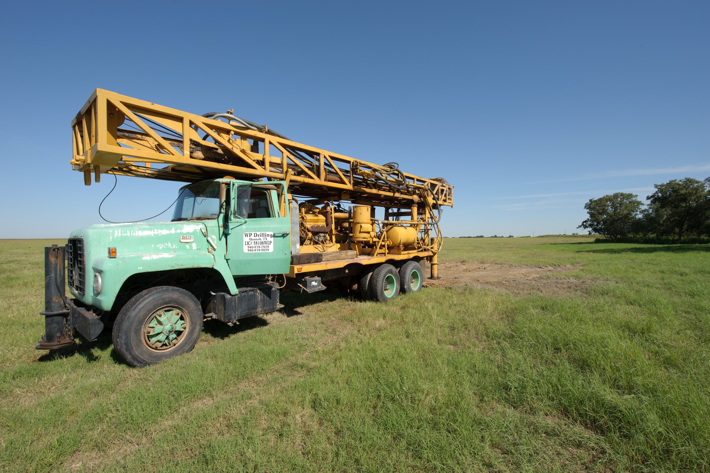
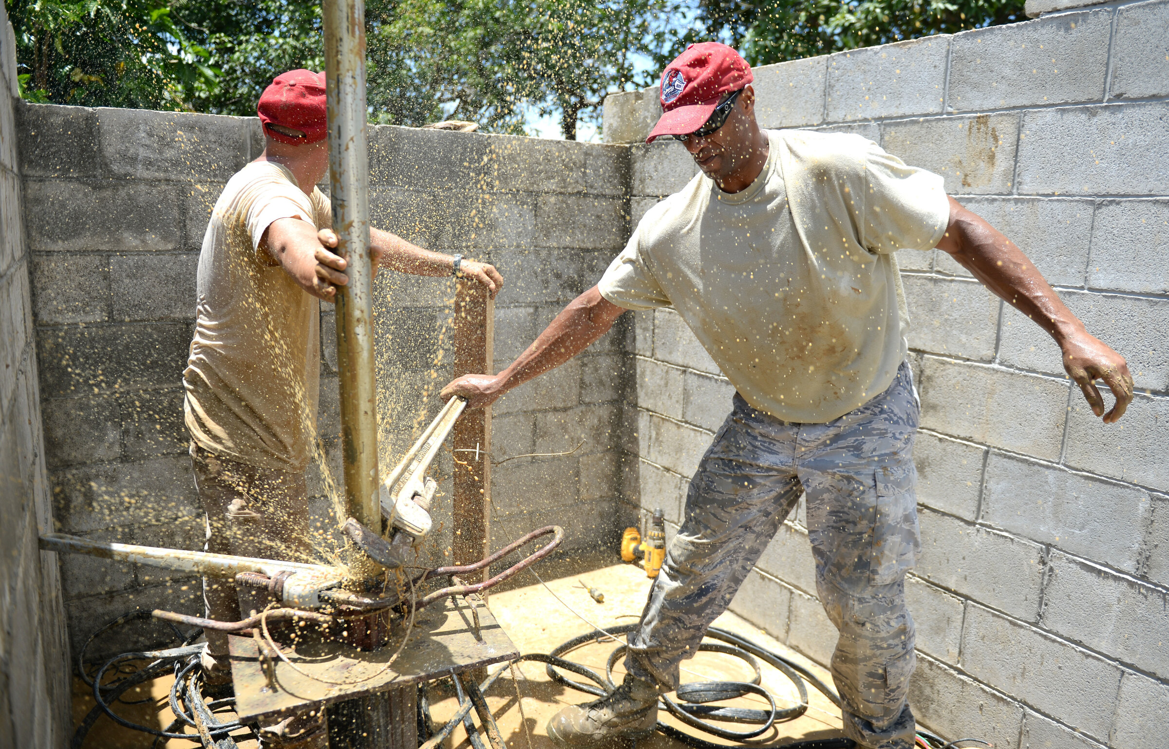
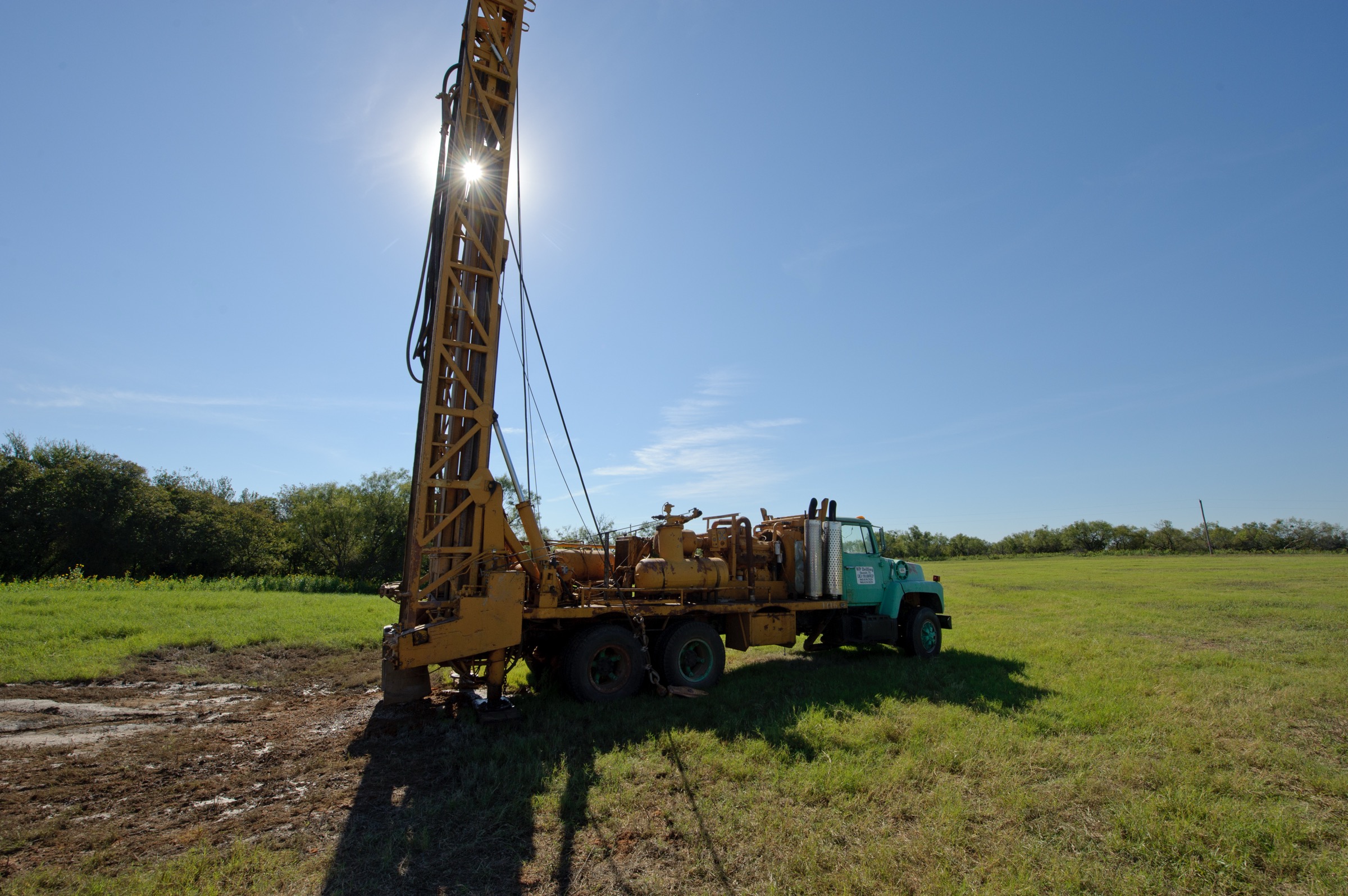
TurnKey Wells is a records, planning, and licensed-driller referral service, not the drilling contractor. This page summarizes a dated county dataset and cannot predict a tract’s depth, yield, water quality, permit status, or price. All three photographs support Atascosa County private-well planning.
2,532
Submitted Driller Records
992
Usable Domestic Depth Logs
382 ft
Median Domestic Total Depth
Carrizo-Wilcox
Main Aquifer Signal
Atascosa County Well Planning Only Works if the South Texas Noise Gets Removed First
Atascosa County gives a land buyer plenty of groundwater history to work with, but it is not a clean suburban household-well file. It is a South Texas county where rural homesites around Jourdanton, Pleasanton, Poteet, Charlotte, Christine, and the I-37 corridor sit in the same database as Eagle Ford field-support work, deep irrigation wells, industrial records, shallow borings, and monitor installations. The TurnKey Wells database holds 2,532 submitted driller records here, including 995 domestic wells and 992 domestic logs with usable total depth.
That is enough household evidence to guide a buyer. It is also enough mixed-use noise to wreck a budget if the wrong nearby records get blended into one county average. The better first step is a Texas water well records lookup, then a tract-level review that keeps household comparables separate from oilfield, irrigation, industrial, and monitoring work before a driller is asked to quote the job.
TurnKey Wells does not drill the well. We clean the file, explain what the nearby data actually means for a land buyer or rural owner, and help the customer start the licensed-driller conversation with better assumptions than a random map pin and a prayer.
Sources and Reproducible Method
Counts and calculations use a read-only TurnKey Wells database backup created April 23, 2026. Fresh state layers can change after that date. The hash-addressed files below preserve the exact rows behind this page.
- Atascosa SDR export: 2,532 rows (SHA-256
ca15b64c33c05fdcc6b7a9cfa694ec71beaca5c0a9a56f7f3c64f372cb943f51). Filter:UPPER(TRIM(county))='ATASCOSA'. Tracking number is the source-table primary key. Domestic summaries use exactproposed_use='Domestic'plus positive reported depths. - Atascosa GWDB export: 1,137 rows (SHA-256
aac7236237048e7392fd9e34c14647845c1f58f14fe6991343e91bfb4bd4877e). The file preserves GWDB ID, tracking number, aquifer name/code, reported depth, year, pump, power, and well use. Aquifer and use totals group exact source labels. - Atascosa plugging export: 386 rows (SHA-256
6a57a1357e5241285c5839c9d8ef72d71fcf0e6007e1f59a3711467b05415c55). Filter: exact county rule above; deduplicate by plugging tracking number, the table primary key.
Primary state services: TWDB Submitted Driller Reports and TWDB Groundwater Database. Percentiles use the sorted positive values: median 50th percentile, middle band 25th-75th, upper marker 90th.
What the Atascosa County Domestic Well Data Actually Says
Inside the household subset, Atascosa County has 992 usable domestic total-depth logs and 569 usable domestic pump-depth logs. The median domestic total depth is 382 feet. The practical middle band runs about 320 to 470 feet, and the upper planning marker reaches about 556 feet. That is the household baseline a buyer should use before the tract is narrowed further.
The pump side tells a related but different story. The domestic pump-depth median is 220 feet, with a middle band around 160 to 260 feet and a 90th-percentile pump marker near 300 feet. Across 568 domestic records that report both values, the average gap between total depth and pump setting is about 180.5 feet. Buyers confuse those two numbers all the time, and that mistake alone can throw a planning conversation off the rails.
- Total SDR records: 2,532 submitted driller reports in Atascosa County
- Domestic records: 995 total
- Usable domestic total-depth logs: 992
- Usable domestic pump-depth logs: 569
- Median domestic total depth: 382 ft
- Domestic middle band: about 320 to 470 ft
- Upper planning marker: about 556 ft
- Plugged-well records: 386 county records in the plugging dataset
Why Raw Countywide Averages Go Sideways in Atascosa County
The shallow side of the file is obvious. Atascosa County includes 454 environmental soil borings averaging about 18.9 feet and 405 monitor wells averaging about 70.3 feet. Those records can help with site history and environmental context, but they do not belong in a residential drilling budget for a ranch homesite outside Pleasanton or Jourdanton.
The deep side is where buyers get burned. The same county file includes 263 stock wells averaging about 467.5 feet, 207 irrigation wells averaging about 927.8 feet, 53 industrial wells averaging about 868.8 feet, 49 rig-supply wells averaging about 1853.0 feet, and 47 fracking-supply wells averaging about 2983.6 feet. There are also 16 public-supply wells, 11 injection wells, and 10 test wells in the mix.
That is the Atascosa County trap. A tract buyer sees a nearby deep Eagle Ford support well, assumes every residential project has to match it, and overprices the job. Or the buyer finds a shallow boring and assumes water is simple. The correct workflow is household records first, then nearby geography, then use-specific noise review, and only after that a licensed driller quote.
Carrizo-Wilcox First, With Queen City and Sparta in the Background
The groundwater database points strongly toward the Carrizo-Wilcox system in Atascosa County. The county shows 1,137 GWDB wells, with 704 tagged Carrizo-Wilcox, 93 tagged Queen City, 29 tagged Sparta, and 25 tagged Yegua-Jackson. That is a real South Texas layered aquifer story, not a one-number county.
The GWDB use splits are also deeper than the recent domestic driller-report signal. Atascosa County GWDB domestic wells show a median around 642 feet. Irrigation wells show a median around 987 feet, stock wells around 700 feet, public-supply wells around 1488 feet, and industrial wells around 1950 feet. That gap between the GWDB file and the SDR domestic subset is exactly why tract planning should not lean on one source alone.
For a buyer, the takeaway is practical. The county has real household-well evidence, but it also has older and deeper groundwater history that reflects different uses and different parts of the county. A parcel near Poteet is not automatically the same drilling story as a tract west of Pleasanton or south toward Charlotte. The Pre-Drill Intelligence Report exists because county-level context is useful, but parcel-level comparables are what close the gap between browsing records and pricing a real project.
Evergreen District Rules, Permit Questions, and TREC 61-0 Risk
Atascosa County is within the Evergreen Underground Water Conservation District. Evergreen’s current permitted-wells guidance and forms explain which wells require permits, which lower-capacity wells may be exempt from permitting but still require registration, and why the owner should confirm the current rule directly with the district. Check the district’s current form and tract facts before drilling or completing seller disclosures.
That is important on existing-well tracts as much as new-drilling sites. The county’s 386 plugged-well records are enough to justify a real record screen before anyone assumes an old homesite is clean, simple, and fully documented. Buyers, sellers, and agents should understand whether an older well exists, whether it was plugged, and whether any groundwater paperwork should travel with the transaction.
TurnKey Wells helps organize that planning picture. We do not act as the drilling contractor. We sort the records, flag district and disclosure issues early, and connect owners with vetted licensed drillers once the tract-level story makes sense.
Budgeting a Residential Well Project in Atascosa County
This page does not publish a fixed county price range. Public records do not capture every casing, completion, pump, electrical, trenching, storage, treatment, access, or district variable in a contractor proposal. The county median is a historical depth reference, not a quote.
Use the Texas well-cost planning guide to understand cost categories, then have licensed drillers price the actual tract and intended use.
Water Quality, Site Placement, and Existing-Well Checks
The exported GWDB rows do not provide a complete, tract-ready chemistry answer. Do not interpret a blank or unavailable source flag as proof that no water-quality records exist. Test a new or existing private well for the parameters appropriate to the tract, construction, aquifer, and intended use.
Site placement is important too. Septic setbacks, drainage, livestock separation, access for the rig, older well history, and the difference between a homesite well and a ranch-water system all change the planning picture. The safe move is to find water well records on a property, compare the nearby domestic pattern, and then go deeper before closing if the purchase is real.
Who This Page Helps in Atascosa County
This page is for rural buyers, landowners, and agents who need a grounded starting point before they price a new private well or inherit an existing one. TurnKey Wells supports that work across Atascosa County, including Jourdanton, Pleasanton, Poteet, Charlotte, Christine, Leming, and nearby acreage along I-37, Highway 97, Highway 16, and the South Texas ranch corridors that keep stretching south toward the Eagle Ford footprint.
If the decision is still broad, start with the county numbers and the free records check. If the tract is real, move to the Pre-Drill Intelligence Report. That is how a mixed South Texas county file turns into a usable planning document instead of a noisy spreadsheet.
Nearby County Well Planning Pages
If you are comparing Atascosa County against nearby or adjacent Central and South Texas private-well markets that already have live TKW coverage, these pages help frame the broader regional groundwater picture:
- Water well drilling in Gonzales County
- Water well drilling in Caldwell County
- Water well drilling in Lavaca County
Atascosa County well planning
Check the records before you price the well.
TurnKey Wells can separate Atascosa County household well evidence from deeper Eagle Ford support work, irrigation records, and shallow boring noise before you commit to a drilling budget.