Colorado County, Texas
Water well drilling in Colorado County
TurnKey Wells helps Colorado County property owners move from questions to a clear drilling estimate. Tell us where the property is and what the well needs to support.
- Address-based project intake
- Property-specific planning
- Clear next steps
Have land in Colorado County? Start with the property address and your water needs.
What nearby household well records tell you
Colorado County has 2,753 usable domestic total-depth logs. Their median reported depth is 165 feet, the middle band runs from about 134 to 215 feet, and the upper planning marker is about 265 feet.
Among 2,216 usable domestic pump-depth logs, the median pump setting is 120 feet and the middle band runs from about 100 to 160 feet. Across domestic logs reporting both numbers, the average gap between finished depth and pump setting is about 54.1 feet.
These countywide markers describe historical records, not the next well. A useful property comparison still depends on the address, nearby domestic logs, original reports, intended demand, current district requirements, and a licensed driller’s field judgment. Start with a Texas water well records lookup that keeps household comparables separate from unrelated uses.
Recorded domestic well depths
The middle band of reported domestic total depths
The 165-foot median describes this historical countywide sample; it is not a recommended depth for a property.
Colorado County records serve different purposes
Separating household wells from monitoring, environmental, rig-supply, irrigation, stock, public-supply, and other records makes the local depth picture more useful.
Domestic wells
Usable household total-depth logs. The median is 165 feet, the middle band runs from about 134 to 215 feet, and the upper planning marker is about 265 feet.
Domestic pump entries
Usable household pump-depth logs. The median is 120 feet and the middle band runs from about 100 to 160 feet.
Monitoring and environmental records
This total includes 144 monitor records and 40 environmental soil borings. Their shallow profiles describe different work and should not anchor a household expectation.
Rig-supply and irrigation records
This total includes 218 rig-supply and 211 irrigation records. Different uses and demands keep them from serving as automatic household comparables.
Groundwater Database context
Historical rows are led by 566 Gulf Coast aquifer-system labels, with 13 unassigned or legacy rows. A label is regional context, not a property prediction.
Keep total depth, pump depth, and other uses separate
Monitoring and boring records can pull a blended county figure below the domestic profile. Public-supply wells can distort the comparison in the other direction.
Source and method: Texas Water Development Board Submitted Driller’s Reports. Colorado County records were grouped by reported use, and depth summaries use positive numeric values. Countywide historical records are planning context, not a property prediction. Data accessed September 9, 2026.
The complete job is more than drilling by the foot
A useful drilling estimate should account for the property, how the water will be used, and the equipment needed to deliver it. Historical footage alone cannot define the complete scope.
Property access
Share the property address and known access information so the contractor can determine what drilling equipment and support vehicles will require.
Water demand
Describe household use, livestock, irrigation, storage, and peak daily needs. Different demands can lead to different equipment and system choices.
Pump and power
Ask how pump selection, controls, electrical service, pressure equipment, trenching, and line runs are handled in the proposal.
Complete installation
Confirm the scope for casing, testing, storage, treatment if supported by property-specific testing, plumbing, startup, and cleanup.
Get a drilling estimate built around what your Colorado County property needs.
Share the address, intended use, and timing. TurnKey Wells will follow up to understand the project and explain the next step.
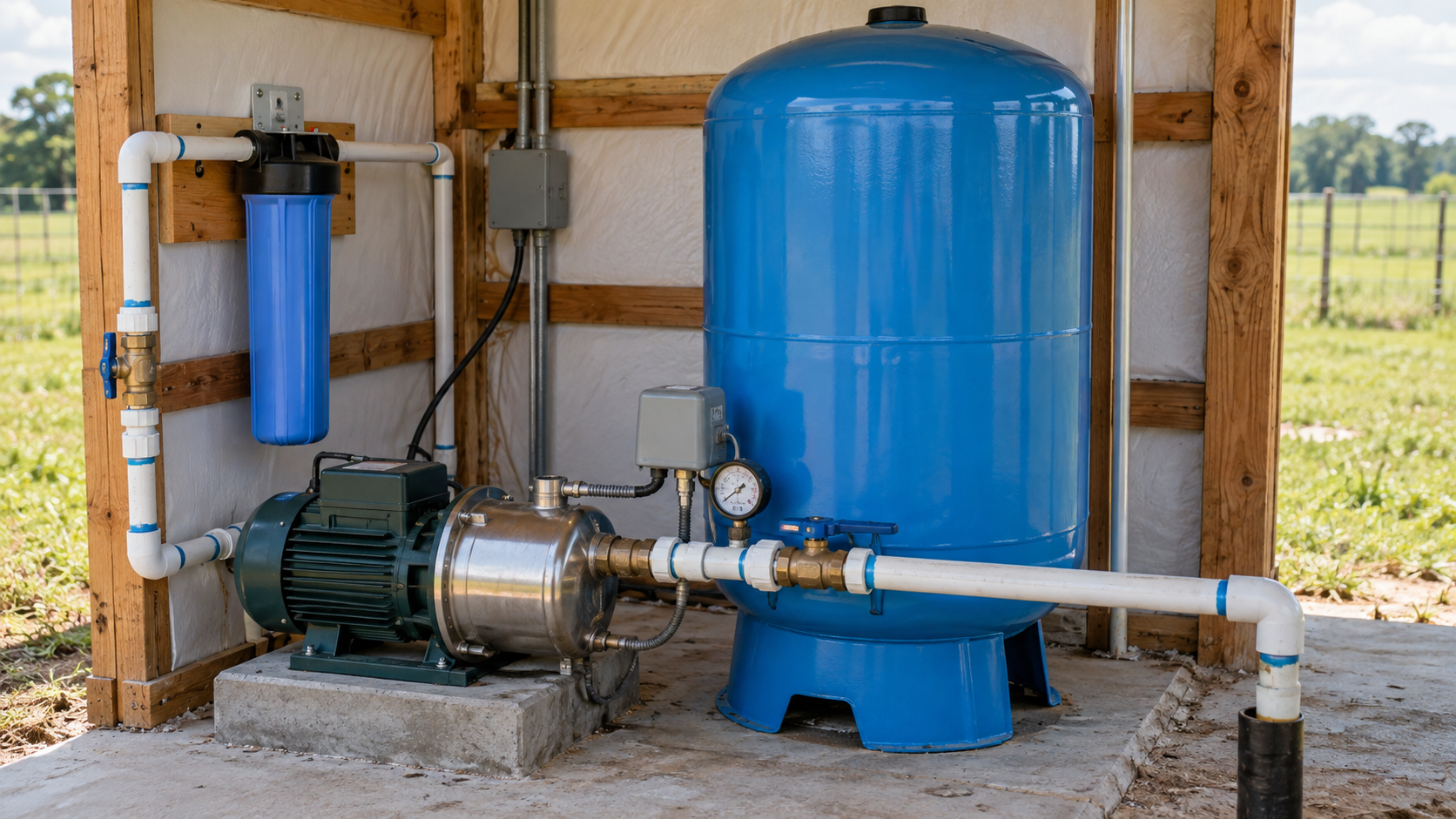
Know what should be included before work begins
A drilling quote is easier to compare when each major piece is visible. Total depth is only one part of a working private-water system, and county depth markers are not contractor prices.
- Mobilization and setup
- Drilling and casing
- Pump and controls
- Pressure tank
- Power and trenching
- Storage and treatment if supported by testing
- Water testing
- Site cleanup
County depth records are not a project price
Historical footage is only one part of a drilling proposal. Ask each contractor to identify mobilization, drilling, casing, pump and controls, pressure equipment, power, trenching, testing, startup, cleanup, allowances, and work that remains with the property owner.
The Texas water well drilling cost guide explains the categories behind a complete proposal without turning a Colorado County median into a property quote.
Pre-Drill Intelligence Report
The county information on this page shows broad patterns. The paid report narrows the research to one Colorado County property before you compare drilling quotes or choose the next step for your land.
- Nearby recorded wells and reported depths
- A domestic-record comparison tied to location
- Aquifer and district questions that need confirmation
- A clearer list of unknowns for contractor conversations
Understand the records before you drill. See nearby recorded depths, regional aquifer context, and location-specific rule questions organized around your property so you can ask better questions before drilling begins.
From property address to drilling conversation
Tell us about the property
Share the address, how the water will be used, and when you hope to begin.
We review the project
TurnKey Wells looks at the location and follows up for the details needed to discuss the estimate.
Plan the drilling work
You receive a clear next step for the drilling quote and complete water system.
Gulf Coast aquifer labels lead the county records
The county Groundwater Database subset contains 579 rows. Gulf Coast is the assigned label on 566 rows, while 13 are unassigned or legacy rows.
Use matters inside that regional picture. Groundwater Database domestic wells show a 146-foot median depth, public-supply wells a 319-foot median, irrigation wells a 495-foot median, and stock wells a 118-foot median.
These labels and use-group summaries provide county context. They do not identify the producing interval or predict depth, yield, or water quality for one property.
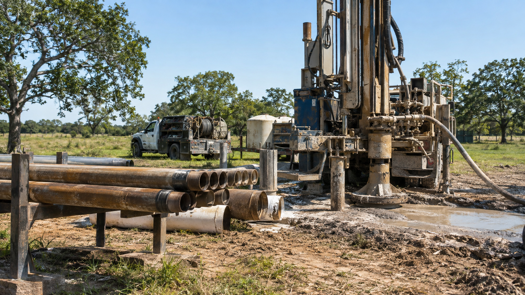
Confirm Colorado County GCD requirements before drilling
Colorado County sits within the Colorado County Groundwater Conservation District. Private-well planning should include current district registration, spacing, and permit requirements before work begins.
Requirements can depend on the well’s use, capacity, location, and the rules in effect when the project is planned. Confirm the current path directly with the district for the exact property and proposed use.
For an existing well involved in a property transaction, gather the original well report, service history, equipment information, testing records, and any district ownership-transfer paperwork that applies.
Depth does not promise yield or water quality
A filed depth does not show how much water a well will produce today. Yield depends on the water-bearing interval, construction, well condition, pumping rate, demand, and current groundwater conditions. Nearby records can narrow the questions, but they cannot replace field evaluation.
Depth also cannot predict what will come from a faucet. For an operating well, use current property-specific sampling and a qualified laboratory rather than inferring water quality from a county aquifer label.
Buyers and property owners should gather the original well report, service history, equipment information, available testing records, and recent performance details. The Texas water-well disclosure guide offers a practical way to organize those records.
Plugging records need an address-level check
The local file contains 405 county plugging records. That is a countywide record count, not evidence that a particular property contains a plugged or abandoned well.
Check any candidate record against the original plugging report, coordinates, ownership history, and property documents. A map point alone should not settle the question.
Plain answers before you plan the work
How deep are domestic wells in Colorado County?
The county file contains 2,753 usable domestic total-depth logs with a 165-foot median. The middle band runs from about 134 to 215 feet, and the upper planning marker is about 265 feet. These are historical countywide markers, not a recommended depth for a property.
What do the pump-depth records show?
Among 2,216 usable domestic pump-depth logs, the median is 120 feet and the middle band runs from about 100 to 160 feet. Pump setting and finished total depth answer different questions.
Can county records predict depth or yield on one property?
No. County patterns are a starting point. A useful decision requires nearby comparable logs, source documents, exact-location checks, current district requirements, and licensed field judgment.
Does an aquifer label identify the producing interval?
No. Gulf Coast and other database labels provide regional context. They do not identify a producing sand or predict depth, yield, or water quality for a property.
Does every Colorado County well need the same permit?
No. Colorado County GCD requirements can depend on proposed use, capacity, location, and current rules. Confirm the path for the exact project before drilling.
Do 405 plugging records mean a property has an abandoned well?
No. The 405 records are a countywide total. Confirm any candidate record against its report, coordinates, ownership history, and property documents.
Water well planning across Colorado County
TurnKey Wells supports well-record research and planning across Colorado County, including Columbus, Weimar, New Ulm, Alleyton, Eagle Lake, Cat Spring, Garwood, Rock Island, Sheridan, Altair, and nearby rural acreage. Confirm availability and requirements for the exact address.
Tell us about your Colorado County property.
Send the basics and TurnKey Wells will follow up to learn what you need, answer initial questions, and discuss the next step toward a water well drilling quote.
- No long questionnaire
- A real follow-up about your property
- Clear options for drilling and pre-drill planning
Request a Water Well Drilling Quote
Tell us where the property is and what the well needs to support.
Your information is used to respond to this request. Privacy Policy