Home / Wise County / Decatur
Property-specific planning for Decatur-area wells
Water Well Drilling in Decatur, TX
Around Decatur, two properties with the same city label can still present different access, setback and groundwater questions. Pin down the tract first, then compare the closest useful records and the district rules that apply there.
- Address-level intake
- Wise County context
- Clear next steps
Decatur planning snapshot
A broad record set, with a wide depth spread
Recent domestic reports labeled Decatur are plentiful enough to show a pattern. They still need to be narrowed by address before they become useful for one project.
Decatur is a submitted city or address label, not a city-limits count; 1,035 of the 1,047 records are coded to Wise County.
Use the spread, not just the midpoint
Decatur-labeled domestic reports run from 60 to 820 feet
The median in this recent set is 240 feet, while 811 of the 1,047 reports fall between 200 and 500 feet. The outliers matter: they are a reminder that a city name is not a drilling specification. Distance from the tract, completed date, proposed use and construction details all affect whether a record is a fair comparison.
Wise County lies within the Upper Trinity Groundwater Conservation District. Its official rules page covers water wells in Hood, Montague, Parker and Wise counties and provides current district documents and spacing information. TWDB describes the Trinity as several smaller aquifers and formations, with confined and unconfined areas—not one uniform layer beneath every Decatur property.
- Check the location: confirm city limits, utility availability, subdivision restrictions, septic setbacks and the district process for the actual parcel.
- Compare the right wells: favor nearby domestic records over monitoring, public-supply or irrigation projects built for another purpose.
- Walk the access: gates, overhead lines, buildings, slopes and the route for heavy equipment can change the scope.
- Budget the finished system: a practical residential planning range is commonly $25,000 to $45,000+ after drilling, casing, pump, pressure equipment, trenching, electrical work, testing and treatment are considered.
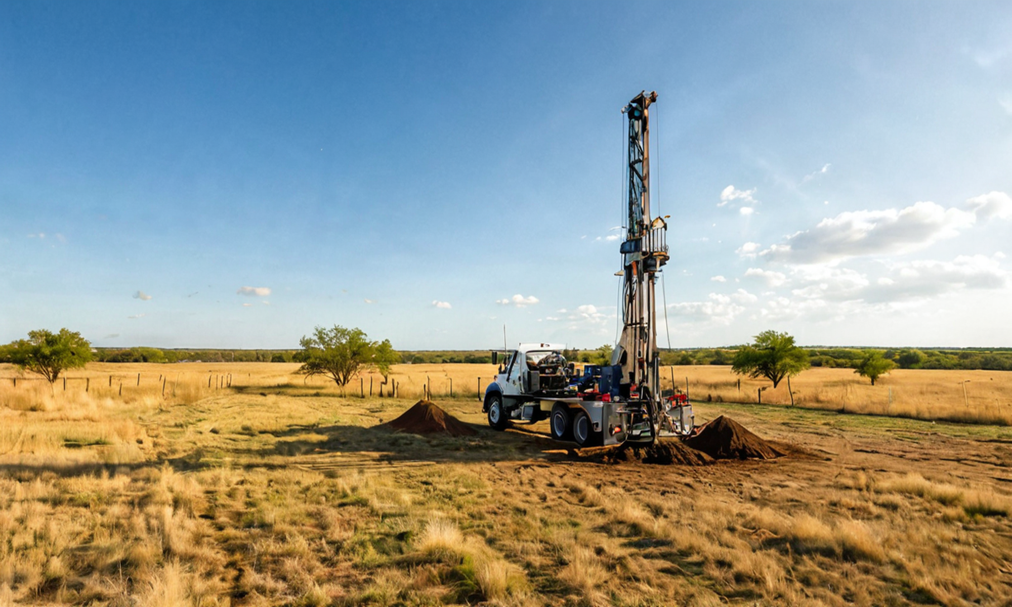
From property question to complete-system quote
Turn the records into a useful drilling conversation
Depth is only one line in the scope. These four steps put the property, nearby evidence and finished system in the same request.
Identify the property
Address, parcel context, existing records, project stage and current water situation.
Review nearby evidence
Use comparable domestic records, Wise County context and aquifer information as evidence, not guarantees.
Define complete scope
Separate footage from casing, pump, pressure, storage, electrical, access and treatment needs.
Request the quote
Send enough tract detail for a useful follow-up instead of asking for a blind citywide price.
$199 Pre-Drill Intelligence Report
Bring the nearby evidence to the first serious quote
Order a property-specific report with nearby submitted depths, reported yield where available, aquifer and groundwater-district context, driller activity and site-review questions.
Keep exploring local water-well context
Decatur belongs in a larger Wise County and Trinity Aquifer review
Use the county, aquifer and nearby published guides to compare the right records without treating a regional pattern as a parcel guarantee.
Nearby published planning guides
These live city and county pages provide useful geographic context around Decatur.
Decatur water-well questions
Questions to settle before drilling
How deep are domestic wells labeled Decatur in recent reports?
The 1,047 domestic reports completed since 2020 have a 240-foot median total depth and a reported range from 60 to 820 feet. Those are submitted-record patterns, not a prediction for one property.
Which groundwater district covers Wise County?
The Upper Trinity Groundwater Conservation District publishes rules and spacing information for water wells in Hood, Montague, Parker and Wise counties. Confirm the current process for the exact parcel and intended use.
What should I budget for a complete residential well?
A practical Texas planning range is commonly $25,000 to $45,000+ after drilling, casing, pump and pressure equipment, trenching, electrical work, testing and possible treatment. Access, depth and site conditions can move the total higher.
What is included in the $199 Pre-Drill Intelligence Report?
The report organizes property-specific nearby depths, reported yield where available, aquifer and groundwater-district context, driller activity and site-review questions before you compare quotes.
Request a drilling quote
Start with the property
Share the tract and project details needed for a useful Decatur-area drilling follow-up. The $199 Pre-Drill Report is ordered separately.
Request a Decatur drilling quote
Share the property and project details needed for a useful drilling follow-up.