Home / Parker County / Aledo
Property-specific planning for Aledo-area wells
Water Well Drilling in Aledo, TX
An Aledo address can describe properties with very different water options. Before comparing wells, confirm the exact tract, available utility service, deed or subdivision limits, district spacing and a workable route for drilling equipment.
- Address-level intake
- Parker County context
- Clear next steps
Aledo planning snapshot
A deeper local pattern that still needs an address
Recent domestic reports carrying an Aledo city label lean deeper than a quick rule of thumb might suggest. Most sit inside one broad band, but the outliers are far enough apart that parcel-level comparison matters.
Aledo is the submitted city or address label, not a city-limits count. Of these 511 reports, 498 are coded to Parker County. The remaining records are a reminder to verify the tract before treating any city label as geographic proof.
What the Aledo records can and cannot tell you
Recent Aledo-labeled domestic reports run from 140 to 761 feet
The median in this recent set is 325 feet, and 475 of the 511 reports fall between 200 and 500 feet. That band is useful for planning, but the shallowest and deepest records are too far apart to support a parcel promise. Compare distance, completion date, domestic use and construction details before carrying a depth into a budget.
Parker County is inside the Upper Trinity Groundwater Conservation District. The district rules posted in September 2026 require approved registration before a new well is drilled. A non-exempt well may also need a permit, and the tract must satisfy the applicable spacing and minimum-acreage rules. TWDB describes the Trinity as several smaller aquifers and formations with confined and unconfined areas, so an Aledo label alone does not identify the producing interval.
- Confirm the tract first: check city limits or ETJ status, available utility service, deed or subdivision restrictions, septic setbacks and the current UTGCD registration or permit path.
- Build a tight comparison set: favor nearby domestic completions with known dates and depths instead of mixing in monitoring, public-supply or irrigation wells.
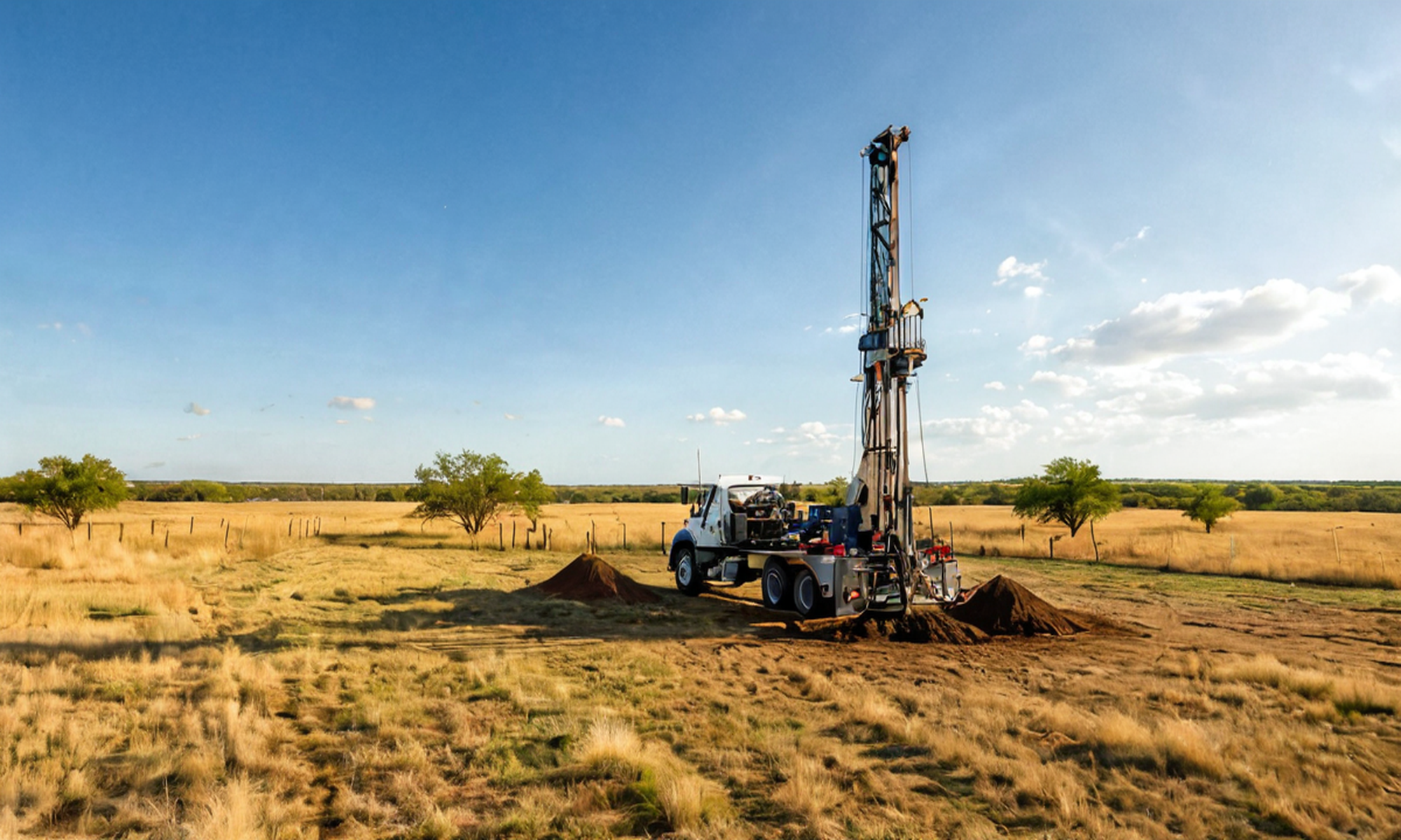
- Trace the rig route on the ground: gates, overhead lines, finished landscaping, structures, grades and turning space can change the feasible drill location.
- Budget beyond the borehole: a practical residential planning range is commonly $25,000 to $45,000+ once drilling, casing, pump, pressure equipment, trenching, electrical work, testing and possible treatment are included.
From property question to complete-system quote
Bring the tract and the record pattern into one scope
A depth estimate without a tract review leaves out the expensive details. Use these four steps to move from an Aledo address to a complete-system discussion.
Identify the property
Pin down the street address or parcel, project stage, current water source and any known well history.
Review nearby evidence
Rank the nearest recent domestic records by distance and relevance, then read them alongside Parker County and Trinity context.
Define complete scope
Price drilling footage separately from casing, pump, pressure or storage equipment, electrical, access, testing and treatment.
Request the quote
Send the tract, access constraints and target timing so the quote follow-up begins with the correct property.
$199 Pre-Drill Intelligence Report
See what the nearest records say before the rig arrives
The property-specific report sorts nearby submitted depths, reported yield where available, aquifer and groundwater-district context, driller activity and site-review questions into one planning packet.
Keep exploring local water-well context
Aledo planning starts with Parker County, UTGCD and Trinity context
Use the Parker County guide as the parent reference, then compare nearby published city and county pages without treating regional patterns as a parcel guarantee.
Nearby published planning guides
These published guides provide useful regional context around Aledo and the Parker–Tarrant area.
Aledo water-well questions
Four questions to settle before drilling
How deep are domestic wells labeled Aledo in recent reports?
The 511 domestic reports completed since 2020 with total depth recorded have a 325-foot median and a reported range from 140 to 761 feet. Those are submitted-record patterns, not a prediction for one property.
Which groundwater district covers Parker County?
The Upper Trinity Groundwater Conservation District covers Parker County. Its current rules require approved registration before a new well is drilled, with permits required for non-exempt wells and parcel-specific spacing rules to confirm.
What should I budget for a complete residential well?
A practical Texas planning range is commonly $25,000 to $45,000+ after drilling, casing, pump and pressure equipment, trenching, electrical work, testing and possible treatment. Access, depth and site conditions can move the total higher.
What is included in the $199 Pre-Drill Intelligence Report?
The report organizes property-specific nearby depths, reported yield where available, aquifer and groundwater-district context, driller activity and site-review questions before you compare quotes.
Request a drilling quote
Start with the property
Share the exact tract, proposed use, equipment access and timing needed for a useful Aledo-area drilling follow-up. The $199 Pre-Drill Report is ordered separately.
Request an Aledo drilling quote
Share the property, access and project details needed for a useful drilling follow-up.