Coke County, Texas
Water well drilling in Coke County
TurnKey Wells helps Coke County property owners move from county records to a clear drilling estimate. Tell us where the property is and what the well needs to support.
- Address-based project intake
- Property-specific planning
- Clear next steps
Have land in Coke County? Start with the property address and your water needs.
What nearby household well records tell you
Coke County has 323 usable domestic total-depth logs. Their median reported depth is 180 feet, and the middle half runs from 120 to 215 feet. The upper planning marker is 260 feet, while the full recorded range runs from 40 to 1,015 feet.
The single 1,015-foot filing is an outlier; the next-deepest domestic record is 440 feet. Only 31 domestic records include a positive pump-depth value, and that sparse, unusual sample is not a dependable county benchmark. A property estimate still has to account for location, intended use, access, pump and power needs, pressure equipment, testing, and service access.
Recorded domestic well depths
The middle half of reported domestic depths
Coke County records serve different purposes
The county file is not one group of identical water wells. Separating household wells from stock, test, monitoring, environmental, irrigation, and industrial records makes the local depth picture more useful.
Domestic wells
Usable household total-depth logs. The median is 180 feet, the middle half runs from 120 to 215 feet, the upper planning marker is 260 feet, and the lone 1,015-foot outlier sits well above the next-deepest 440-foot record.
Stock wells
Records tied to livestock use average 175.2 feet, with filed depths from 10 to 395 feet. They add ranch context but should not replace nearby household records when planning a residential supply well.
Test wells
Test-well records average 183.3 feet, with filed depths from 20 to 455 feet. Their reporting purpose differs from a household completion, so they belong in a separate comparison group.
Monitoring and environmental records
This group includes 138 monitor wells averaging 67.2 feet and 34 environmental soil borings averaging 33.9 feet. These shallower records describe different work and should not be blended into a household-well expectation.
Irrigation wells
Irrigation records average 187.0 feet, with filed depths from 53 to 260 feet. The county file also contains smaller industrial, rig-supply, public-supply, geothermal, fracking-supply, and other groups that belong in supporting context.
Coke County’s well records need to be compared by purpose
Stock wells are the largest reported-use group, while monitoring and environmental rows are much shallower. Keeping those records separate prevents a blended average from becoming a misleading household budget assumption.
Source and method: Texas Water Development Board Submitted Driller Reports. Coke County records are grouped by reported use, and this page summarizes positive total-depth values within those groups. Data accessed August 21, 2026.
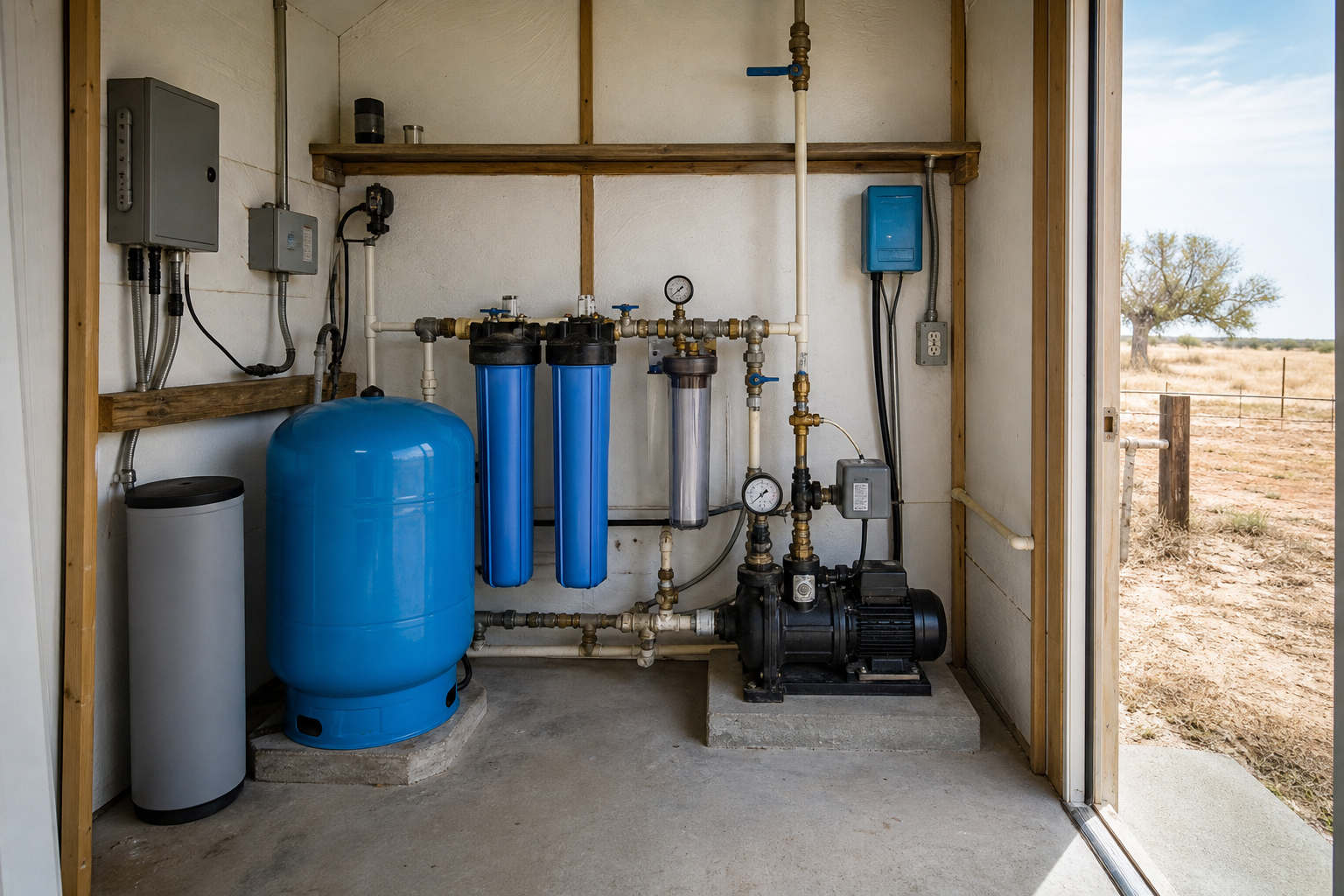
The complete job is more than drilling by the foot
Coke County records help frame the depth conversation, but the complete system depends on the property, how the water will be used, and the equipment needed to deliver it.
Property access
Brushy or uneven ranch ground, gates, overhead lines, utility conflicts, weather access, turning room, and space for the drilling rig.
Water demand
Home use, livestock, irrigation, storage, and peak daily needs.
Pump and power
Pump selection, electrical service, controls, pressure tank, line runs, and trenching.
Complete installation
Casing, testing, treatment, storage, plumbing, freeze protection, cleanup, and startup.
Get a drilling estimate built around what your Coke County property actually needs.
Share the address, intended use, and timing. We will follow up to understand the project and explain the next step.
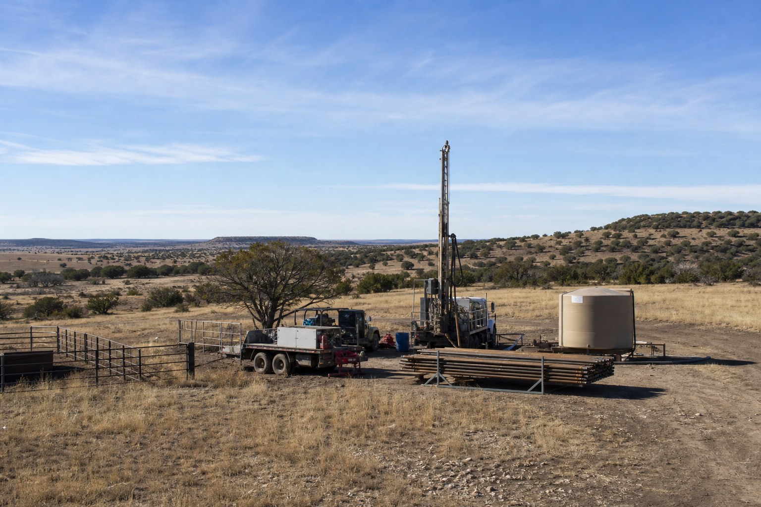
Know what should be included before work begins
A drilling quote is easier to compare when each major piece is visible. Pump selection, electrical support, pressure equipment, storage, treatment, freeze protection, service access, and line runs can matter as much as the drilling footage. The Texas water well drilling cost guide explains the major cost categories.
- Mobilization and setup
- Drilling and casing
- Pump and controls
- Pressure tank
- Power and trenching
- Storage and treatment
- Water testing
- Site cleanup
Pre-Drill Intelligence Report
The county information on this page shows broad patterns. The paid report narrows the research to one Coke County property before you compare drilling quotes or choose the next step for your land.
- Nearby recorded wells and reported depths
- Property access and site-planning questions
- Questions to ask before drilling begins
- A clearer picture of the complete water system
Understand the ground before you drill. See nearby recorded well depths, Edwards-Trinity Plateau Aquifer context, and local planning details organized around your property. The groundwater database contains 697 Coke County rows: 515 are labeled Other, 126 Edwards-Trinity Plateau, and 56 unassigned. Those historical labels do not identify the producing interval, depth, yield, or water quality for a new well. The database also contains 295 plugged-well rows, which show county history rather than proof of a plugged or abandoned well on a particular property. Check the exact tract with the Texas groundwater conservation district lookup, and use the Texas water-well disclosure guide when an existing well is part of a sale.
From property address to drilling conversation
Tell us about the property
Share the address, how the water will be used, and when you hope to begin.
We review the project
We look at the location and follow up for any details needed to discuss the estimate.
Plan the drilling work
You receive a clear next step for the drilling quote and complete water system.
Plain answers before you plan the work
What do Coke County household well records show?
The county file includes 323 usable domestic total-depth logs with a 180-foot median and a middle band from 120 to 215 feet. The 1,015-foot filing is a lone outlier above the next-deepest 440-foot record, so a property-level comparison is still needed.
Why can a Coke County average be misleading?
The county file includes large stock and test-well groups as well as much shallower monitoring and environmental records. Separating records by reported use produces a more useful household planning picture.
What do Coke County aquifer labels tell you?
Most Coke County rows in the groundwater database are labeled Other or unassigned, with 126 Edwards-Trinity Plateau rows. Those historical labels provide regional context but do not identify the producing interval, depth, yield, or water quality for a specific property.
What is the difference between a drilling quote and the $199 report?
A drilling quote prices proposed work and equipment. The Pre-Drill Intelligence Report organizes nearby records, aquifer context, and site-planning questions around one property before you compare quotes.
What information helps prepare a drilling estimate?
Share the property location, site access, intended water use, expected demand, available power, and any existing well information so the estimate can reflect the work the site may require.
Water Well Drilling Across Coke County
From acreage around Robert Lee and Bronte to rural properties near Blackwell, Silver, and Tennyson, Coke County well planning starts with the location, intended water use, access, power, and nearby domestic records. Stock wells are the county’s largest reported-use group, so a useful household estimate should focus on comparable domestic records rather than a blended county average. Share the property location and water needs to discuss the next step for your Coke County project.
Tell us about your Coke County property.
Send the basics and we will follow up to learn what you need, answer initial questions, and discuss the next step toward a water well drilling quote.
- No long questionnaire
- A real follow-up about your property
- Clear options for drilling and pre-drill planning
Request a Water Well Drilling Quote
Tell us where the property is and what the well needs to support.
Your information is used to respond to this request. Privacy Policy