Home / Texas water well drilling / Eastland County

Eastland County, Texas

Water well drilling in Eastland County

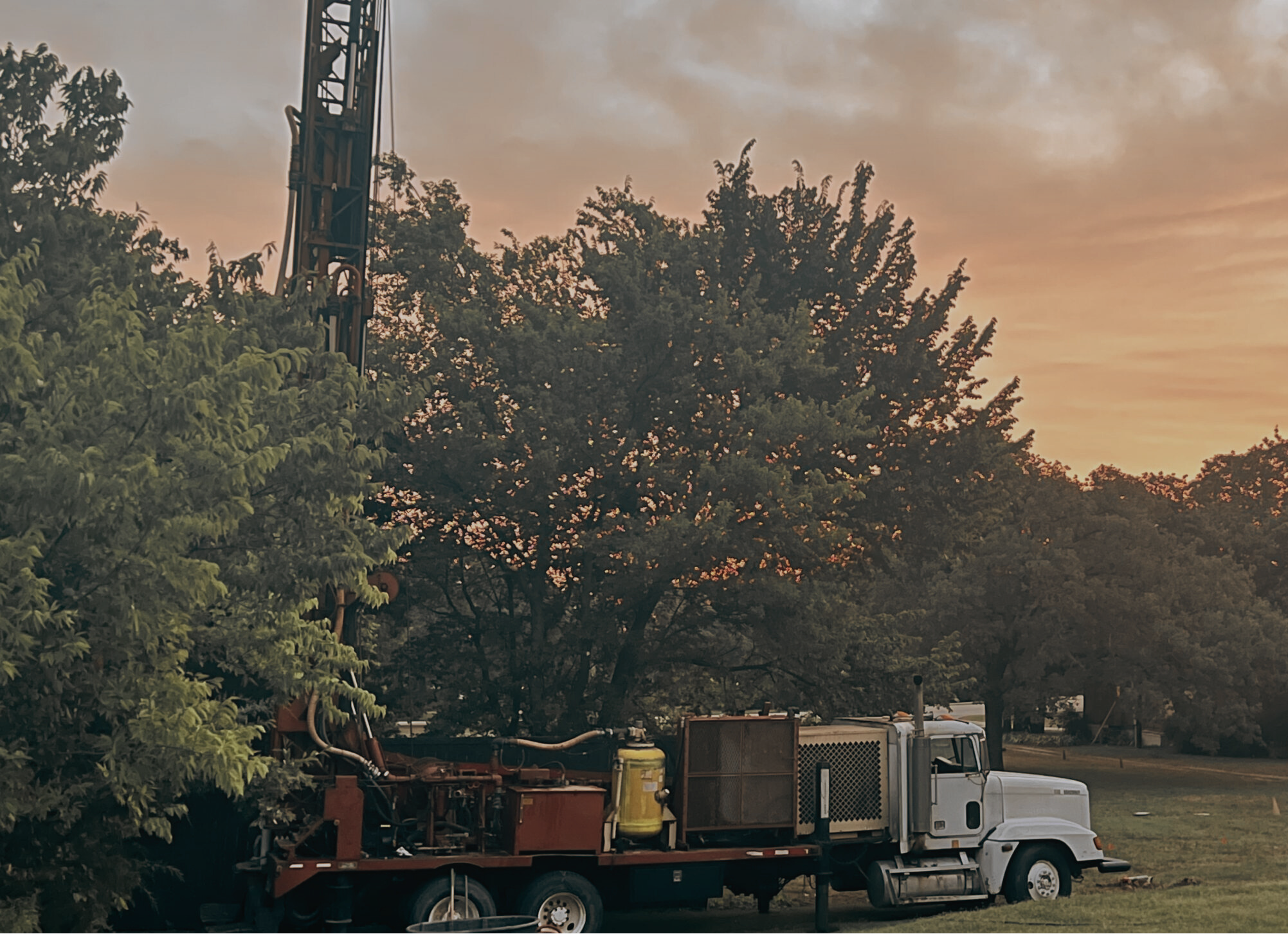
A well near Eastland or Cisco can require a different plan from acreage around Gorman, Rising Star, Ranger, or Desdemona. Share the property location and what the water needs to support, and TurnKey Wells will help you move toward a useful drilling estimate.

  • Address-based project intake
  • Property-specific planning
  • Clear next steps
1,699Total submitted groundwater and drilling records
484Domestic well records
173Stock well records
757Irrigation well records

Planning a well in Eastland County? Start with the property location and intended water use.

Eastland County well depths

What the domestic records actually show

Domestic well records in Eastland County have a median reported depth of 100 feet. The middle half runs from 79 to 220 feet, while the 10th-to-90th percentile span reaches from 60 to 330 feet. Those figures describe 484 domestic records and offer a more relevant starting point than one countywide average that mixes household, irrigation, monitoring, and other work.

The exact plan still depends on the property. A tract outside Cisco may not match land near Gorman, a site around Rising Star, or acreage closer to the Comanche County line. Nearby well records, aquifer assignment, access, power, household demand, livestock use, irrigation, storage, and treatment needs all belong in the conversation.

County records can set a realistic starting range. The property location is what turns that range into a useful estimate.

Recorded domestic well depths

The middle half of reported domestic depths

79 feet220 feet
What the county records contain

Eastland County records reflect homes, farms, and ranches

Irrigation, domestic, and stock wells make up most of the submitted county file. Test wells, monitoring wells, and environmental borings are separated below so their purpose and generally different depth patterns do not distort the numbers a property owner is likely to use.

484

Domestic wells

Household and private-property water records. All 484 include a reported depth. The median is 100 feet, the middle half runs from 79 to 220 feet, and the 10th-to-90th percentile span is 60 to 330 feet.

173

Stock wells

Records tied to livestock use. All 173 include a reported depth. The median is 100 feet, the middle half runs from 80 to 160 feet, and the 10th-to-90th percentile span is 50 to 290 feet.

757

Irrigation wells

Wells reported for crop, pasture, or landscape irrigation. All 757 include a reported depth. The median is 93 feet, the middle half runs from 70 to 125 feet, and the 10th-to-90th percentile span is 50 to 294 feet.

242

Test, monitoring, and environmental records

This group includes 37 test wells, 114 monitoring wells, and 91 environmental soil borings. These records describe subsurface work in the county, but they should not be counted as ordinary household water wells.

43

Other reported uses

This group includes 17 records marked other, 16 public-supply wells, four industrial wells, four closed-loop geothermal records, one rig-supply well, and one injection well.

Depth and record history

Different well uses produce different depth patterns

Domestic and stock records both center near 100 feet, while irrigation records center near 93 feet. Monitoring and environmental work is generally much shallower and should not be used as a residential depth shortcut.

Record typeMedian depthMiddle halfMedian completion year
Domestic100 ft79-220 ft2011
Stock100 ft80-160 ft2020
Irrigation93 ft70-125 ft2014
Test wells100 ft50-220 ft2016
Monitoring wells25 ft20-30 ft2016
Environmental soil borings12 ft9-16 ft2008

The year shown is the median completion year within each record group. It describes the historical file, not the present condition or expected service life of a particular well.

Data source: Texas Water Development Board Submitted Driller's Reports.

What shapes a drilling estimate

The complete job is more than drilling by the foot

A useful estimate should account for where the rig can work, which water-bearing unit is being targeted, how much water the property needs, and the equipment required to deliver it.

01

Property access

County roads, gates, easements, slopes, overhead lines, buried utilities, septic setbacks, and enough room for the drilling rig and support equipment.

02

Water demand

Household use, livestock, irrigation, storage, and peak demand. A residence, cattle operation, and irrigation system require different planning.

03

Pump and power

Pump setting, electrical service, controls, pressure tank, trenching, and the distance from the well to the point of use.

04

Complete installation

Casing, testing, pump equipment, storage or treatment when needed, plumbing, startup, and site cleanup.

Start with the property

Get a drilling estimate built around what the land actually needs

Share the Eastland County property location, intended use, and timing. TurnKey Wells will follow up to understand the project and explain the next step.

Rural water well system planning for Eastland County Texas acreage
Plan the whole water system

Know what should be included before work begins

A drilling quote is easier to compare when each major piece is listed. The well, pump, controls, pressure system, power, trenching, storage, treatment, testing, and cleanup should not be reduced to one unexplained total.

  • Mobilization and setup
  • Drilling and casing
  • Pump and controls
  • Pressure tank
  • Power and trenching
  • Storage and treatment
  • Water testing
  • Site cleanup

Request a Drilling Quote

Property-specific well research

Pre-Drill Intelligence Report

$199 one-time report

The county numbers on this page show broad patterns. The paid report narrows the research to one property before you compare drilling quotes or decide how to plan the water system.

  • Nearby recorded wells and reported depths
  • Property and groundwater district information
  • Questions to ask before drilling begins
  • A clearer picture of the complete water system

Historical Eastland County Groundwater Database assignments are dominated by the Trinity Aquifer, especially Antlers and Twin Mountains codes. A smaller Cross Timbers component also appears. The report organizes nearby records, aquifer context, and current district checks around the property so you can ask better questions before drilling begins.

Simple next steps

From property address to drilling conversation

Tell us about the property

Share the address, how the water will be used, and when you hope to begin.

We review the project

We look at the location and follow up for any details needed to discuss the estimate.

Plan the drilling work

You receive a clear next step for the drilling quote and complete water system.

Eastland County well questions

Plain answers before you plan the work

Which groundwater district serves Eastland County?

Current Texas Water Development Board mapping does not show material groundwater conservation district coverage in Eastland County. A small mapped sliver appears along the Comanche County line and is consistent with boundary precision, not countywide Middle Trinity Groundwater Conservation District coverage. Check the exact property with the Groundwater Conservation District Lookup and confirm current official boundaries before drilling.

Can other rules still affect a project?

Yes. State licensing requirements and local construction, utility, setback, or property restrictions may still apply. Border-area parcels also deserve a current district check. Confirm the rules for the exact address or tract before scheduling work.

Is every Eastland County well in the same aquifer?

No. Historical records are dominated by Trinity family assignments, especially Antlers and Twin Mountains codes, but Cross Timbers, mixed, other, and unassigned records also appear. Aquifer assignment and productive intervals still need to be checked near the property.

Are all 1,699 records domestic water wells?

No. The total includes irrigation, stock, monitoring, environmental, test, public-supply, and other reported uses. This page separates those records so they are not mistaken for household wells.

Can county records predict the depth on one property?

No. County records show patterns, not a guaranteed depth, yield, or water quality. Nearby logs, aquifer conditions, access, intended use, and the complete water system are needed for a useful drilling conversation.

Do statewide licensing rules apply?

Yes. The Texas Department of Licensing and Regulation states that a license is required to drill a water-related well in Texas and to install a pump for a water-related well.

What if the property may already have a well?

Start with the free Texas well check to review public records near the address before planning new work.

Communities we serve

Water well drilling across Eastland County

Request a drilling estimate for property in and around Eastland, Cisco, Ranger, Gorman, Carbon, Rising Star, Desdemona, and nearby rural communities.

Free drilling estimate

Tell us about your Eastland County property

Send the property location, intended use, and timing. TurnKey Wells will follow up to learn what you need, answer initial questions, and discuss the next step toward a water well drilling quote.

  • No long questionnaire
  • A real follow-up about the property
  • Clear options for drilling and pre-drill planning

Request a Water Well Drilling Quote

Tell us where the Eastland County property is, what the well needs to support, and when you hope to begin.

Name
Property / well location
Use the exact 911 address when available. For land without a conventional address, enter decimal coordinates or the parcel and legal description.
Confirm property location

Your information is used to respond to this request. Privacy Policy