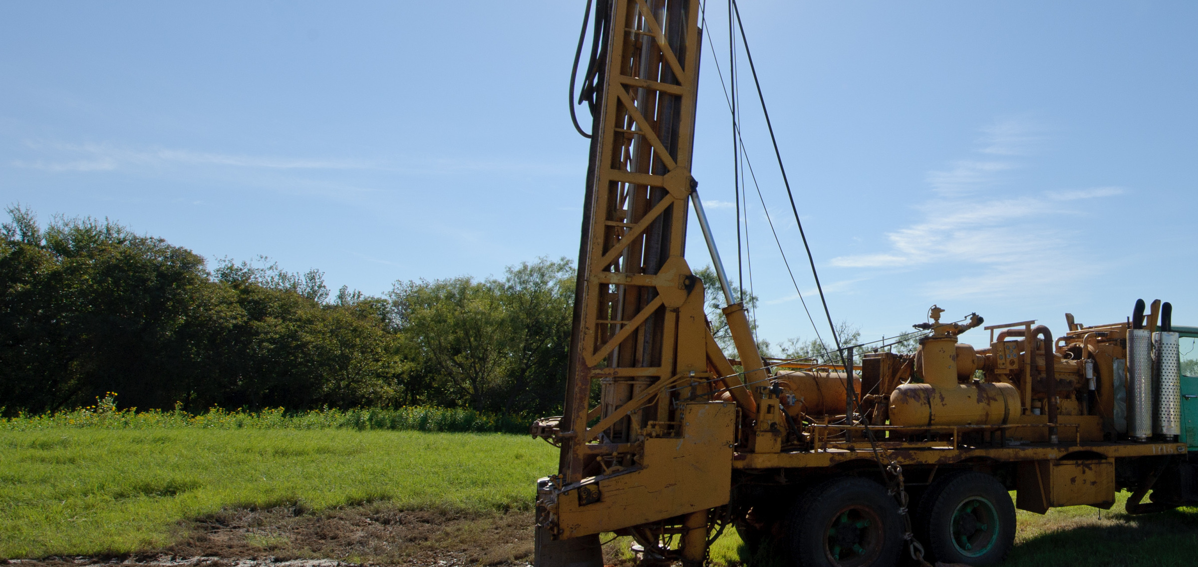
Water Well Drilling in Bailey County, TX
What the current Bailey County records show
A dated July 24, 2026 export from the Texas Water Development Board’s Submitted Driller’s Report database returns 1,280 Bailey County records. Of those, 892 are identified as irrigation and 212 as domestic. All 212 domestic records in this export contain a positive borehole depth. Their median is 235 feet; the middle half runs from about 208 to 267 feet, and the 90th-percentile marker is about 338 feet.
These are county-level records, not a prediction for a particular parcel. A nearby well may differ because of location, age, construction, intended use, aquifer conditions, and reporting quality. Use the numbers to frame questions, then ask a licensed driller to evaluate the actual site.
Irrigation data should not set a household-well assumption
Irrigation accounts for most of the submitted reports in Bailey County. That makes a raw county average a poor substitute for a domestic comparison. A rural homesite near Muleshoe, Needmore, Maple, Enochs, or Bula should be screened against nearby domestic records rather than the largest irrigation wells visible from the road.
TurnKey Wells can organize that first records screen through the Texas water well records lookup. For a parcel-specific planning package, use the Pre-Drill Intelligence Report.
Ogallala context and district rules
The current TWDB Groundwater Database export contains 604 Bailey County wells. Most identified aquifer records point to the Ogallala Formation. That county pattern is useful context, but it does not establish the aquifer, capacity, or construction for a proposed well.
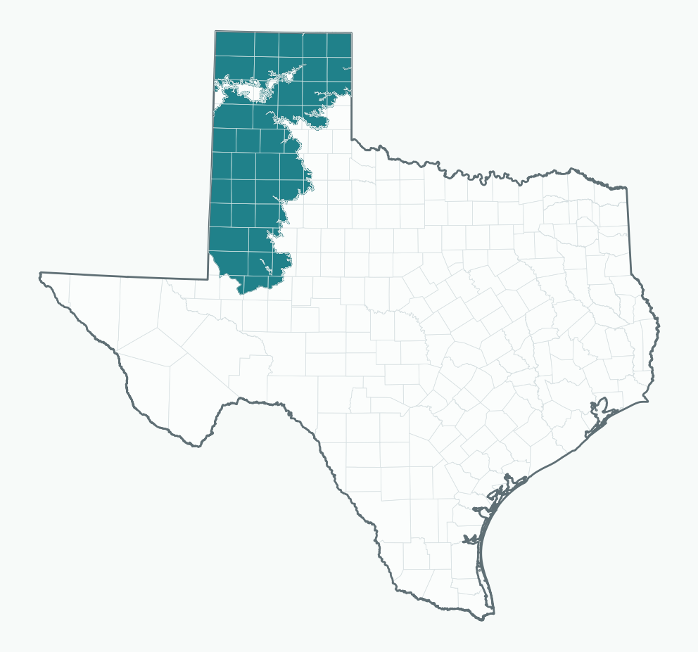
Bailey County is within High Plains Underground Water Conservation District No. 1. Check the district’s current official rules page and confirm requirements directly with the district before relying on a registration, spacing, or permit assumption. The TWDB Groundwater Database reports page explains the state data source and its limitations.
Water quality records exist, but current testing is still important
The dated TWDB county water-quality export contains 395 sample records associated with 242 state well numbers. That corrects the earlier statement that Bailey County had no public water-quality records. Historical samples can help identify questions, but they do not establish today’s condition at a particular well. TWDB also cautions users to check the accuracy, completeness, currency, and suitability of the data.
For an existing private well, use a current laboratory test selected for the property and intended use. Results such as hardness, dissolved solids, nitrate, or other constituents should be interpreted in the context of the actual sample date, method, and well—not copied from a county summary.
Older and plugged-well history
A separate July 24, 2026 TWDB Plugging Reports export returns 171 Bailey County records. That does not mean a specific tract contains a plugged well. It does mean buyers and sellers should compare the parcel location with state records and verify the condition and documentation of any well found on the property. The Texas water disclosure guide explains the records questions that can shape a rural transaction.
How to think about project cost
The public county exports do not provide a reproducible installed-price schedule, so this page does not publish a fixed per-foot rate or total project range. A useful quote should identify drilling and casing scope, pump and electrical equipment, trenching, access, testing, district requirements, and any treatment recommended after current water testing. See the Texas water well cost planning guide for the components to discuss with licensed contractors.
Source snapshot and method
Snapshot date: July 24, 2026. Method: Bailey County exact-match queries against TWDB’s live Submitted Driller’s Report, Groundwater Database, Plugging Reports, and county water-quality export. Counts and domestic depth statistics were recalculated from the saved rows. Zero and blank depths were excluded from depth statistics.
Nearby groundwater planning pages
Check the records before you price the well.
Start with public evidence, then take the parcel and your questions to a licensed driller.