Concho County, Texas
Water well drilling in Concho County
TurnKey Wells helps property owners move from questions to a clear drilling estimate. Tell us where the property is and what the well needs to support.
- Address-based project intake
- Property-specific planning
- Clear next steps
Have land in Concho County? Start with the property address and your water needs.
What nearby well records tell you
Domestic water well records in Concho County commonly report depths between 100 and 160 feet, with 120 feet near the middle. Stock and irrigation records also center near 120 feet, but their ranges differ because each well is built for a different job.
The exact plan depends on the property. Nearby wells, terrain, road access, power, household demand, livestock, irrigation, and storage all affect the conversation.
Recorded domestic well depths
The middle half of reported domestic depths
Concho County wells support homes, ranches, and irrigation
The county file is not one group of identical water wells. It includes producing-use wells as well as test, monitoring, and environmental records. Separating them makes the numbers more useful.
Domestic wells
Private-property and household water records. All 252 have a valid reported depth. The median is 120 feet, the middle half runs from 100 to 160 feet, and the 10th–90th percentile range is 80 to 200 feet.
Stock wells
Water records tied to livestock and ranch use. Of these, 292 have a reported depth. The median is 120 feet, the middle half ranges from 80 to 180 feet, and the 10th–90th percentile range is 60 to 240 feet.
Irrigation wells
Wells reported for crop, pasture, or landscape irrigation. The median is 120 feet, the middle half ranges from 100 to 155 feet, and the 10th–90th percentile range is 80 to 165 feet.
Test, monitoring, and environmental records
This group includes 378 test wells, 46 monitoring wells, and 36 environmental soil borings. These records help describe subsurface work in the county, but they should not be counted as ordinary household or producing water wells.
Other reported uses
Five rig-supply wells, five industrial wells, four public-supply wells, and one record marked “other” complete the county file.
Different uses show different depth patterns
Domestic, stock, irrigation, and test records all center near 120 feet, but the surrounding ranges tell a more complete story.
Source and method: Texas Water Development Board Submitted Driller’s Reports. Concho County records are grouped by reported use, and this page summarizes reported depths within those groups. Data accessed September 8, 2026.
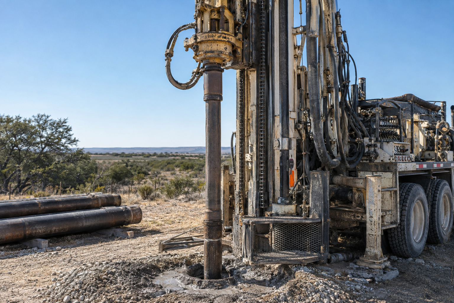
The complete job is more than drilling by the foot
A useful estimate should account for the property, how the water will be used, and the equipment needed to deliver it.
Property access
Roads, gates, slopes, overhead lines, and room for the drilling rig.
Water demand
Home use, livestock, irrigation, storage, and peak daily needs.
Pump and power
Pump size, electrical service, controls, pressure tank, and trenching.
Complete installation
Casing, testing, treatment, storage, plumbing, cleanup, and startup.
Get a drilling estimate built around what you actually need.
Share the address, intended use, and timing. We will follow up to understand the project and explain the next step.
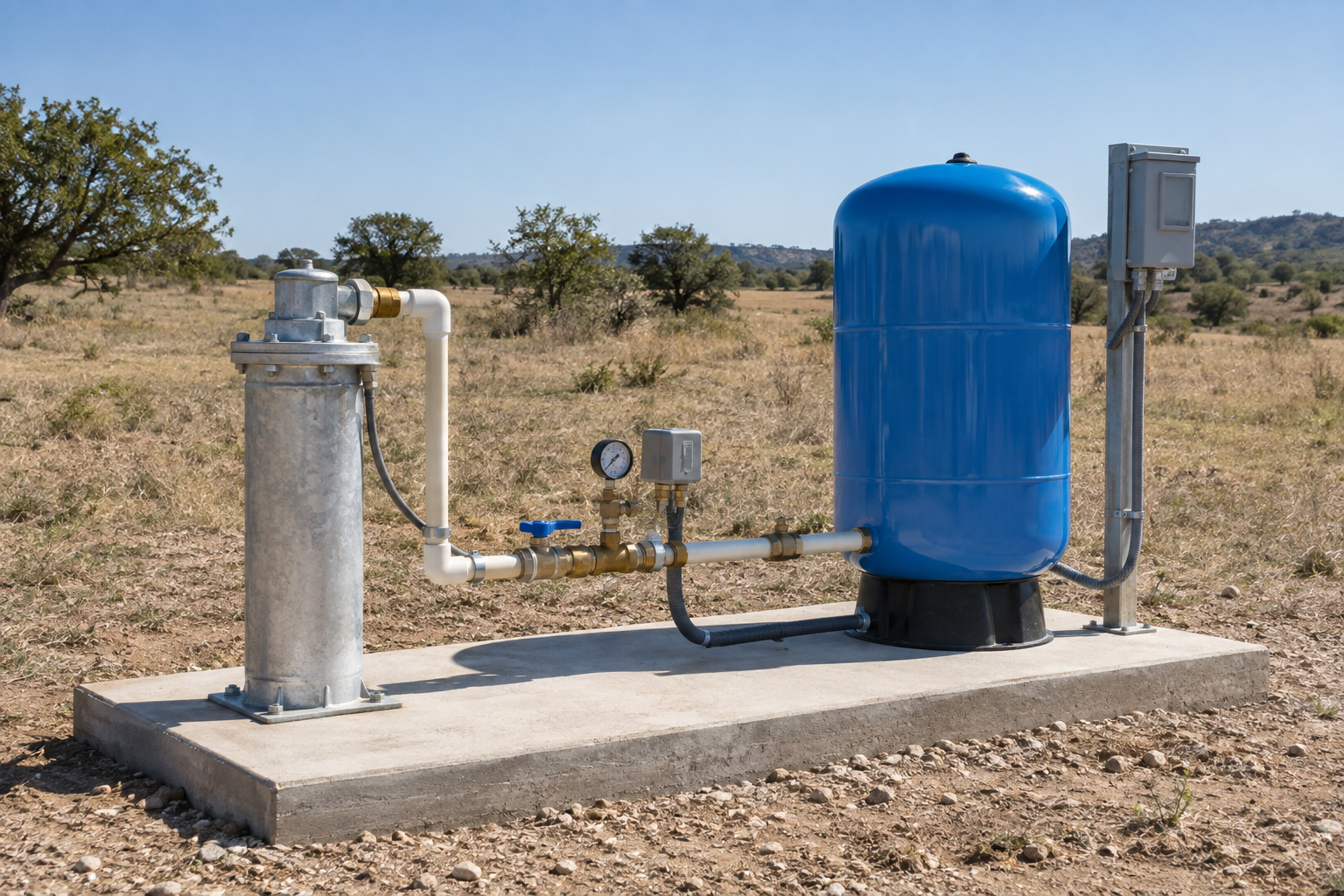
Know what should be included before work begins
A drilling quote is easier to compare when each major piece is visible. TurnKey Wells helps organize the project so the estimate covers the well and the equipment that makes it usable.
- Mobilization and setup
- Drilling and casing
- Pump and controls
- Pressure tank
- Power and trenching
- Storage and treatment
- Water testing
- Site cleanup
Pre-Drill Intelligence Report
The county information on this page shows broad patterns. The paid report narrows the research to one property before you compare drilling quotes or choose the next step for your land.
- Nearby recorded wells and reported depths
- Property access and site-planning questions
- Questions to ask before drilling begins
- A clearer picture of the complete water system
Understand the ground before you drill. See nearby recorded well depths, Edwards-Trinity Aquifer context, and local planning details organized around your property so you can ask better questions before drilling begins.
From property address to drilling conversation
Tell us about the property
Share the address, how the water will be used, and when you hope to begin.
We review the project
We look at the location and follow up for any details needed to discuss the estimate.
Plan the drilling work
You receive a clear next step for the drilling quote and complete water system.
Plain answers before you plan the work
What is the difference between a drilling quote and the $199 report?
A drilling quote prices the proposed work and equipment. The Pre-Drill Intelligence Report organizes nearby records, aquifer context, and site-planning questions around one property before you compare quotes.
What should a complete drilling quote include?
Look for mobilization, drilling, casing, pump and controls, pressure tank, power or trenching, testing, treatment or storage where needed, startup, and site cleanup.
Are all 1,204 records producing water wells?
No. The total includes test wells, monitoring wells, environmental soil borings, and several specialized uses. The page separates those records so they are not mistaken for household wells.
What information helps prepare a drilling estimate?
Share the property location, site access, intended water use, expected demand, available power, and any existing well information so the estimate can reflect the work the site may require.
Why order a property-specific report?
The report moves from countywide patterns to nearby records and planning information tied to one property.
Water Well Drilling Across Concho County
From ranches near Eden and Paint Rock to rural properties around Eola, Lowake, and Millersview, well-planning needs vary with access, terrain, water demand, power, storage, and nearby well records. Whether the goal is household water, livestock use, or irrigation, start with the property location and intended use so the estimate can reflect the work the site may require. Request a drilling estimate to discuss the right next step for your Concho County property.
Tell us about your Concho County property.
Send the basics and we will follow up to learn what you need, answer initial questions, and discuss the next step toward a water well drilling quote.
- No long questionnaire
- A real follow-up about your property
- Clear options for drilling and pre-drill planning
Request a Water Well Drilling Quote
Tell us where the property is and what the well needs to support.
Your information is used to respond to this request. Privacy Policy