
Water Well Drilling in Denton County, TX
Wells on Record
6,658+
Median Depth
440 ft
Common Depth Range
285-680 ft
Primary Aquifer
Trinity (Woodbine / Paluxy)
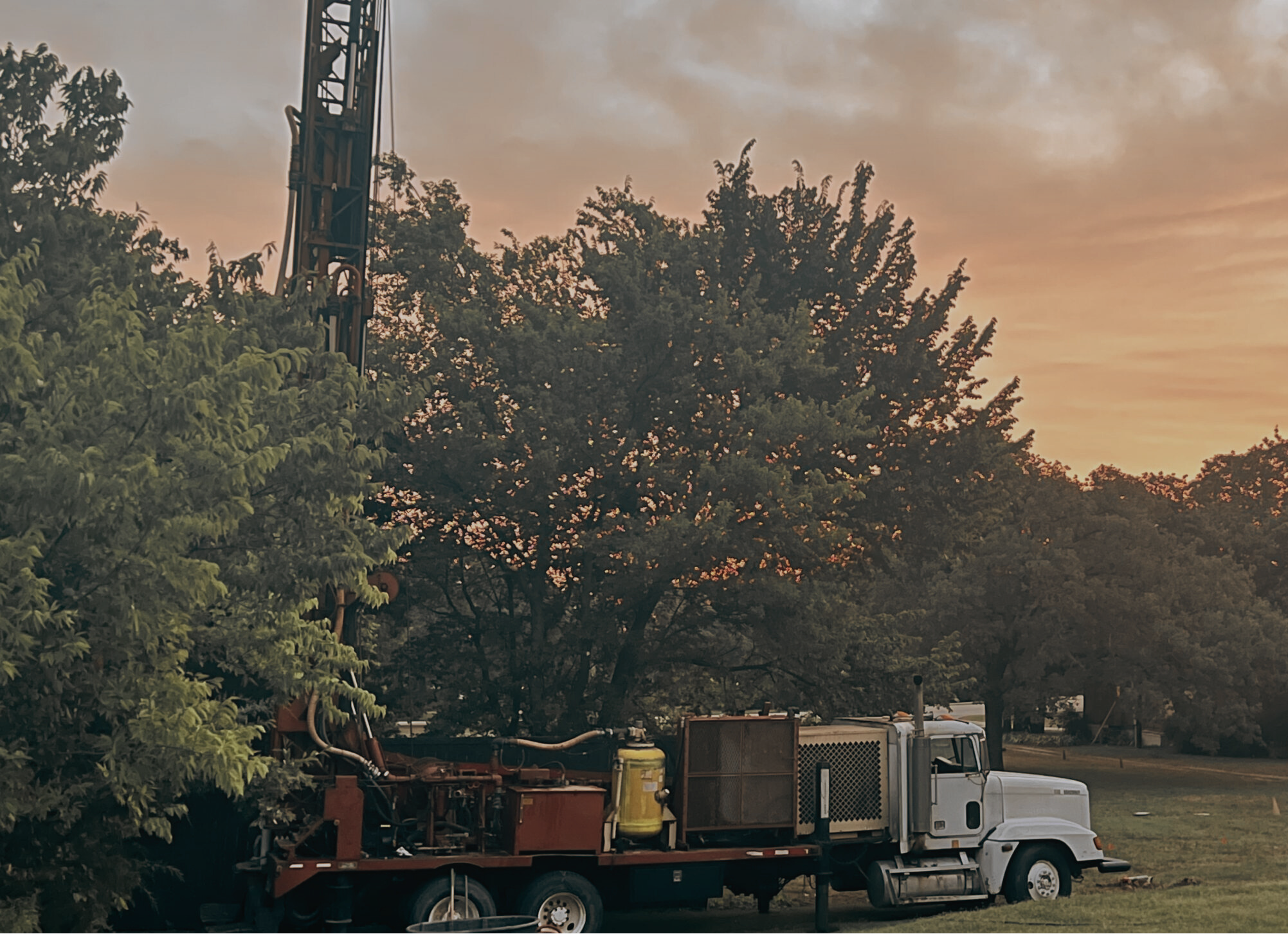
Denton County’s well inventory tells a story of two distinct geological zones divided roughly by US-377. West of that line-Krum, Ponder, Justin, Rhome-drillers are chasing the Woodbine Sandstone, a productive but deep formation that typically kicks in around 350-400 feet and runs to 650 feet in some parcels. East of that line, toward Aubrey, Little Elm, and Krugerville, the Paluxy formation is the primary target and wells tend to land in the 250-380 ft window. Get that wrong and you’re either casing through good water or spending $25,000+ to hit nothing but red clay.
The county’s explosive growth-it was among the five fastest-growing counties in the U.S. between 2020 and 2023-means raw land along FM 156, FM 1173, and the US-380 corridor is being subdivided fast. A lot of those buyers are first-time rural property owners who’ve never dealt with a well permit. We pull the TCEQ database for every neighboring well report before we ever quote a job: depth, yield, formation logged, completion method. That data cuts surprises on both ends-the driller’s and the owner’s.
One thing Denton County buyers often don’t expect: the saline fringe. In the southeastern edge of the county near Lake Lewisville, there are documented pockets of brackish groundwater in shallower zones. Wells there need careful casing through those intervals and a confirmed fresh-water target below. It’s not common, but if you don’t know the area and you stop too shallow, you end up with water you can’t drink or irrigate with.
What Drives Depth in Denton County
- East/west formation split: Paluxy formation dominates the eastern half (250-380 ft); deeper Woodbine Sandstone is the target in the western corridors near Krum, Ponder, and Justin (350-650 ft).
- Southeastern saline pockets: Brackish zones near Lake Lewisville require casing through shallow intervals-wells here often need to go deeper to reach clean, potable water.
- Rapid subdivision activity: Fast-developing parcels along US-380 and FM 455 have limited neighboring well history, making pre-drill research critical for accurate depth and budget estimates.
- Irrigation demand in northern Denton: Agricultural properties near Sanger and Bolivar routinely target high-yield Woodbine intervals, with some wells logging 40-60 GPM-a very different spec than a domestic 5-GPM residential well.
TurnKey Wells serves Denton, Lewisville, Flower Mound, Krum, Sanger, Aubrey, Ponder, Justin, Argyle, Corinth, Little Elm, Krugerville, Bolivar, Gunter, and surrounding communities throughout Denton County.
Get a Free Estimate for Your Denton County Property
We’ll pull nearby well records, identify your target formation, and give you a straight depth and cost estimate-before you commit to anything.