Castro County, Texas
Water well drilling in Castro County
TurnKey Wells helps Castro County property owners move from questions to a clear drilling estimate. Tell us where the property is and what the well needs to support.
- Address-based project intake
- Property-specific planning
- Clear next steps
Reviewing land in Castro County? Start with the public well file before you compare drilling plans.
What 174 domestic logs say about finished depth
Castro County has 174 usable domestic total-depth logs. Their median reported depth is 370 feet, the middle half runs from about 305 to 402 feet, and the upper planning marker reaches about 424 feet. The full recorded domestic range runs from 155 to 518 feet.
Pump information is much thinner. Only 22 domestic rows have a usable pump setting; their median is 367 feet, the middle band runs from about 314 to 380 feet, and the recorded range is 205 to 412 feet. That small sample cannot carry a property decision by itself, but it shows why the hole alone is not a complete budget.
Recorded domestic well depths
The middle half of reported domestic depths
Castro County’s well file is built around irrigation
The 1,975 submitted driller records do not form one group of comparable wells. Separating the 174 domestic logs from irrigation, test, stock, environmental, and public-supply records produces a more useful household planning picture.
Domestic wells
Usable household total-depth logs. The median is 370 feet, the middle half runs from about 305 to 402 feet, the upper planning marker is about 424 feet, and the recorded range is 155 to 518 feet.
Irrigation wells
Irrigation entries with usable depths average about 388.4 feet. Their production and equipment needs differ from a household supply, so they belong in a separate comparison group.
Test wells
Test-well records average about 544.8 feet. They add subsurface context but should not replace nearby domestic comparables when planning a residential well.
Stock and environmental records
This group includes 46 stock wells averaging about 311.5 feet and 32 environmental soil borings averaging about 29.4 feet. Their different purposes make a single all-use average misleading.
Public-supply wells
Nine public-supply records average about 374.6 feet. Keep them as regional context rather than treating them as ordinary household completions.
An irrigation-heavy file can distort a household-well comparison
Irrigation dominates the usable-depth file, while test wells, stock wells, environmental borings, and public-supply wells were built for different jobs. Compare like with like before using a county number in a household budget.
Source and method: Texas Water Development Board Submitted Driller’s Reports. Castro County records are grouped by reported use, and this page summarizes depth markers within those groups. Data accessed August 19, 2026.
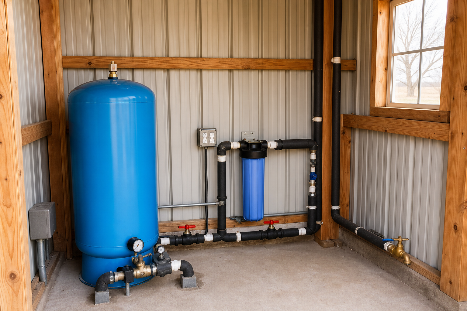
Budget for the finished system, not just drilled footage
A useful Castro County estimate should account for the tract, water demand, rig access across working farmland, and the equipment needed to make the completed well usable.
Property access
Farm roads, gates, overhead lines, active crops, center-pivot equipment, weather, and room for the drilling rig.
Water demand
Household use, livestock, irrigation, storage, and peak daily needs.
Pump and power
Pump setting, electrical service, controls, pressure tank, line runs, and trenching.
Complete installation
Casing, testing, treatment, freeze protection, plumbing, cleanup, and startup.
Turn the Castro County file into a property decision.
Begin with a Free Well Check, then use property coordinates, intended use, nearby domestic completions, access, power, and current rule questions to plan the next step.
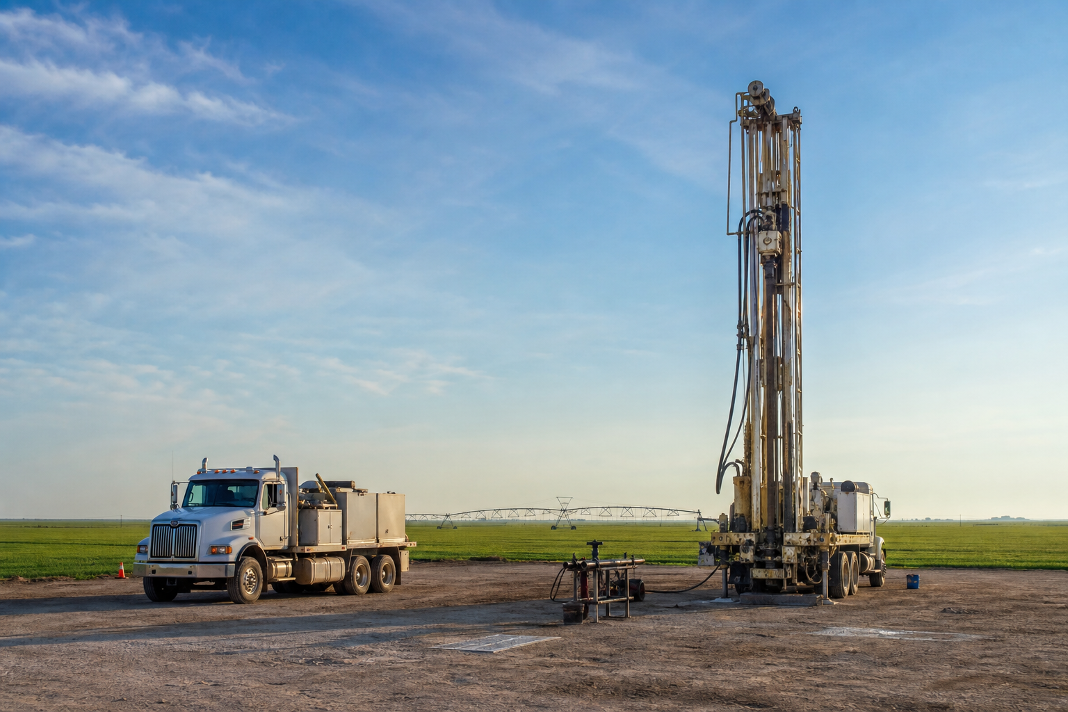
Know what should be included before work begins
A complete Castro County budget may include mobilization, drilling, casing, completion materials, pump and controls, pressure equipment, trenching, electrical work, storage, testing, treatment, freeze protection, and cleanup. Ask each contractor what is included, what is an allowance, and how additional footage is priced.
- Mobilization and setup
- Drilling and casing
- Pump and controls
- Pressure tank
- Power and trenching
- Storage and treatment
- Water testing
- Site cleanup
Pre-Drill Intelligence Report
The county information on this page shows broad patterns. The paid report narrows the research to one Castro County property before you compare drilling quotes or choose the next step for your land.
- Nearby domestic records and reported depths
- Property access and site-planning questions
- Aquifer labels and older-well history
- Questions to ask before drilling begins
Keep historical labels in their lane. The groundwater database contains 375 Castro County rows: 363 are labeled Ogallala and 12 are labeled Dockum. Those labels provide Ogallala Aquifer context but do not guarantee the producing interval, water level, depth, yield, chemistry, or performance of a new well. The database also includes 156 Castro County plugged-well rows; those show county history, not proof of a plugged or abandoned well on a particular parcel. Check the exact tract with the Texas groundwater conservation district lookup, then confirm current registration, spacing, permitting, production, replacement-well, and plugging requirements with the responsible authority and a licensed driller. For an existing well, organize seller documents with the Texas water-well disclosure guide.
From property location to drilling conversation
Tell us about the property
Share the address or coordinates, intended water use, site access, available power, and when you hope to begin.
Review comparable records
Separate nearby domestic completions from the county’s irrigation-heavy file and note missing or unusual record details.
Plan the complete system
Use current authority guidance and contractor evaluation to compare drilling, pump, power, testing, treatment, and site-work needs.
Plain answers before you plan the work
What do Castro County household well records show?
The county file includes 174 usable domestic total-depth logs with a 370-foot median and a middle band of about 305 to 402 feet. The recorded range is wider, so a property-level review is still needed before treating any county figure as a site expectation.
Why can a Castro County average be misleading?
The usable-depth file includes 1,563 irrigation wells alongside much smaller domestic, test, stock, environmental, and public-supply groups. Separating records by reported use produces a more useful household planning picture.
How much pump-depth evidence is available?
Only 22 domestic rows have a usable pump setting. Their median is 367 feet and the recorded range is 205 to 412 feet, so the small sample should be treated as supporting context rather than a property prediction.
What do Castro County aquifer labels mean?
The historical groundwater file contains 363 Ogallala labels and 12 Dockum labels. Those tags are context only and do not predict a producing interval, depth, yield, chemistry, or performance for a new well.
How should permit and district status be checked?
Do not assume a countywide answer. Look up the exact tract, then confirm current registration, spacing, permitting, production, replacement-well, and plugging requirements with the responsible authority and a licensed driller.
Does depth predict household water quality?
No. Water chemistry can vary with the producing interval, construction, well condition, nearby activity, treatment equipment, and plumbing. An operating well needs a current sample analyzed by a qualified laboratory for the property and intended use.
Water Well Drilling Across Castro County
From farmland around Dimmitt and Hart to rural properties near Nazareth, Flagg, and Sunnyside, Castro County well planning varies with coordinates, water demand, active agricultural use, rig access, power, storage, older well history, and nearby domestic records. City labels are orientation clues rather than clean map boundaries or tract-level predictions. Start with the exact property and intended use.
Tell us about your Castro County property.
Send the basics and we will follow up to learn what you need, answer initial questions, and discuss the next step toward a water well drilling quote.
- No long questionnaire
- A real follow-up about your property
- Clear options for drilling and pre-drill planning
Request a Water Well Drilling Quote
Tell us where the property is and what the well needs to support.
Your information is used to respond to this request. Privacy Policy