Limestone County, Texas
Water Well Drilling in Limestone County, Texas
Planning a water well in Limestone County starts with the property location. Public records can show reported borehole depths, uses, and aquifer labels near a tract, but they cannot predict the depth, yield, or water quality of a new well.
- Property-based research
- Official record context
- Clear limits on county data
These are submitted historical records, not permits, a count of every well, or a guaranteed drilling range.
What nearby well records can tell you
Nearby records can help frame better questions about a property. The most useful comparison begins with wells of a similar reported use and then considers their location, borehole depth, and aquifer label.
The countywide domestic median is 350 feet, and half of the domestic records fall between 229 and 460 feet. A specific tract may differ because geology changes across the county. Record research is a planning aid, not a site determination or performance forecast.
Recorded domestic borehole depths
The middle half of 569 Domestic records
The record total mixes several kinds of work
Separating reported uses keeps specialized records from being mistaken for ordinary household wells.
Domestic
The median recorded borehole depth is 350 feet, and the middle half falls between 229 and 460 feet.
Rig Supply
These specialized records are part of the county total and should not be treated as household well records.
Monitor
Monitoring records serve a different purpose and should be evaluated separately from Domestic records.
Other reported uses
The remaining records include 111 Industrial, 91 Stock, 57 Environmental Soil Boring, and smaller categories.
Dataset counts can change as reports are added or corrected, and the database excludes pre-system mailed reports.
The Wilcox Group is central to Limestone County groundwater context
A historical Texas Water Development Board county study identifies the Wilcox Group as the county’s major aquifer and describes meaningful variation across the county.
The Texas Water Development Board Groundwater Database contains selected sites for planning. Its records must not be combined with the Submitted Driller Report total without deduplication.
Confirm the details that countywide records cannot settle
Use official records as context, then verify the parcel, current rules, and water quality.
Property location
Identify the tract before comparing nearby records or aquifer labels.
Current GCD status
Check the parcel in the current TCEQ Groundwater Conservation District Viewer.
Statewide rules
Use TDLR’s current program pages for drilling and pump-installation rules and license lookup.
Water testing
Use laboratory results, not countywide assumptions, to guide treatment decisions.
Check groundwater-district status by property
The TCEQ map service did not return a district at five tested interior Limestone County points. Limestone County is also outside the Brazos Valley Groundwater Conservation District described in that district’s official management plan, which covers Brazos and Robertson counties.
Mapped boundaries and local requirements can change, so verify the parcel before relying on any permit or spacing statement. Statewide, TDLR regulates water-well drilling and pump installation and provides current rules and license lookup tools.
Testing should guide treatment decisions
Private-well water quality cannot be established from a countywide generalization. TCEQ says private-well owners are responsible for regularly testing water used for drinking and cooking. Laboratory results should guide any treatment decision.
Plan for equipment access before work begins
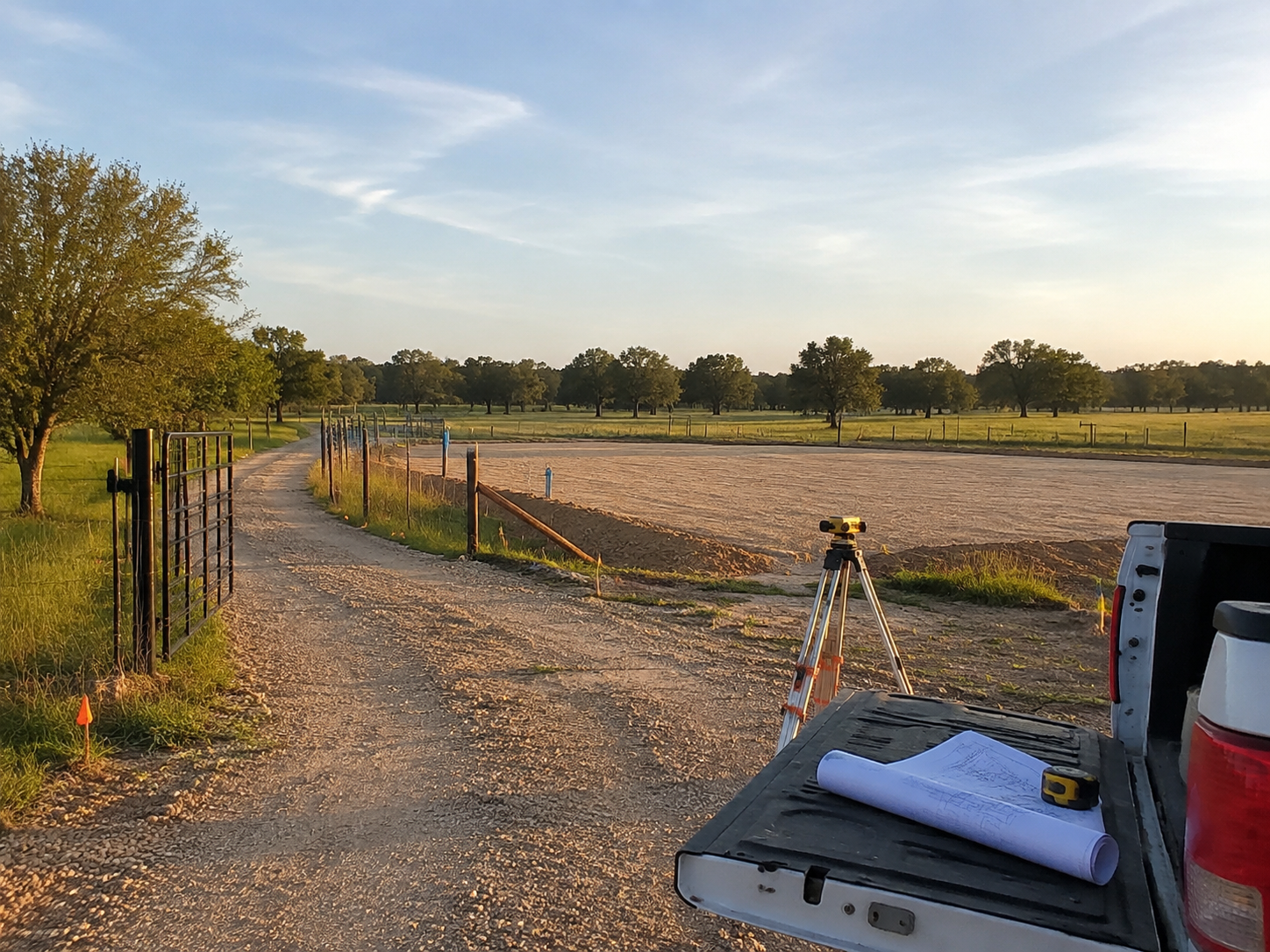
Gate width, overhead clearance, slopes, utilities, and the proposed well location can affect how a drilling crew reaches and works on a rural property.
Move from county context to property-specific questions
Identify the property
Begin with the tract location and the intended use of the well.
Review public records
Compare nearby submitted records with similar uses without treating them as a forecast.
Verify current conditions
Check district status and statewide rules, then use laboratory testing for drinking-water decisions.
Plain answers from the official records
How deep are domestic wells in the county records?
Among 569 records labeled Domestic, the median recorded borehole depth is 350 feet. The middle half falls between 229 and 460 feet. These historical records do not guarantee a depth for a new well.
Are all 1,514 records domestic water wells?
No. The total includes rig-supply, monitoring, industrial, stock, environmental soil-boring, and other uses in addition to Domestic records.
Is the Trinity Aquifer the primary aquifer here?
The TWDB county study identifies the Wilcox Group as the county’s major aquifer. Current records contain several aquifer labels, so the relevant unit must be evaluated by location.
Does Brazos Valley GCD regulate Limestone County?
No countywide Brazos Valley GCD claim is supported. The district’s management plan describes Brazos and Robertson counties as its territory and Limestone County as a county to the north. Check the current TCEQ viewer for the parcel.
Can county records predict well yield?
No. They provide historical planning context and do not predict the depth, yield, or completed performance of a new well.
Can county records establish water quality?
No. Laboratory testing is needed to evaluate private-well water quality and guide any treatment decision.
Start with a Limestone County property
Review public well records for a property, including locations in the Groesbeck and Mexia areas.
Sources
- Texas Water Development Board, Submitted Driller Report database and September 1, 2026 location file
- Texas Water Development Board, Groundwater Database and September 1, 2026 location file
- Texas Water Development Board Report 299, Ground-Water Resources of Limestone County, Texas
- Texas Commission on Environmental Quality, Groundwater Conservation District Viewer
- Brazos Valley Groundwater Conservation District, official management plan
- Texas Department of Licensing and Regulation, Water Well Drillers and Pump Installers program
- Texas Commission on Environmental Quality, private-well drinking-water guidance